Moorerlebnis Kendlmühlfilze
Moorerlebnis Kendlmühlfilze is in Grassau, Traunstein, Bavaria. Moorerlebnis Kendlmühlfilze is situated nearby to the playground Waldspielplatz, as well as near Museum Salz & Moor.| Tap on a place to explore it |
Places of Interest Nearby
Highlights include St. Michael and Mariä Himmelfahrt.
St. Michael
Church

Photo: Cmcmcm1, CC BY-SA 4.0.
St. Michael is a church, which is situated 1 km northwest of Moorerlebnis Kendlmühlfilze.
Mariä Himmelfahrt
Church
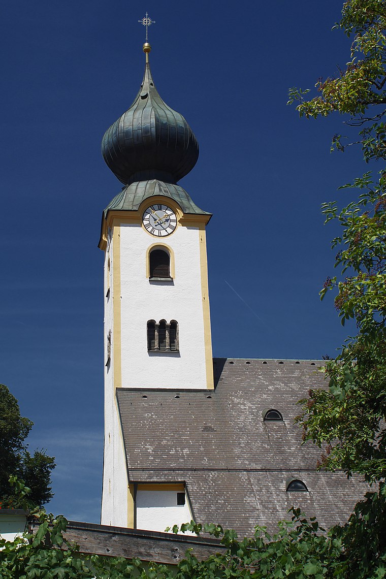
Photo: Thcilnegeg, CC BY-SA 4.0.
Mariä Himmelfahrt is a church, which is situated 2 km southeast of Moorerlebnis Kendlmühlfilze.
Staffnalm
Restaurant

Photo: 2015 Michael 2015, CC BY-SA 4.0.
Staffnalm is a restaurant, which is situated 2½ km south of Moorerlebnis Kendlmühlfilze.
Places in the Area
Nearby places include Rottau and Marquartstein.

Marquartstein
Village
 Marquartstein is a municipality in the southeastern part of Bavaria, Germany and is part of the Verwaltungsgemeinschaft Marquartstein and Staudach-Egerndach. Marquartstein is situated 4 km southeast of Moorerlebnis Kendlmühlfilze.
Bernau am Chiemsee
Village

Photo: Wikimedia, CC BY-SA 3.0.
Bernau am Chiemsee is a municipality in the district of Rosenheim in Germany on the Lake Chiemsee, and a Luftkurort. Bernau am Chiemsee is situated 5 km northwest of Moorerlebnis Kendlmühlfilze.
Moorerlebnis Kendlmühlfilze
- Type: Map
- Categories: information and tourism
- Location: Grassau, Traunstein, Upper Bavaria, Bavaria, Germany, Central Europe, Europe
- View on OpenStreetMap
Latitude
47.78869° or 47° 47′ 19″ northLongitude
12.42707° or 12° 25′ 38″ eastOpen location code
8FVJQCQG+FROpenStreetMap ID
node 6727653031OpenStreetMap feature
tourism=information
This page is based on OpenStreetMap, Wikidata, and Wikimedia Commons.
We’d love your help improving our open data sources. Thank you for contributing.
Satellite Map
Discover Moorerlebnis Kendlmühlfilze from above in high-definition satellite imagery.
Places with the Same Name
Discover other places named “Moorerlebnis Kendlmühlfilze”.
Notable Places Nearby
Highlights include Waldspielplatz and Museum Salz & Moor.
Nearby Places
Explore places such as Rottauer Moorlehrpfad (Nähe ‘Klaushäusl’) and Landschaft und Besiedlung vor 2000 Jahren.
Upper Bavaria: Must-Visit Destinations
Delve into Munich, Ingolstadt, Dachau, and Rosenheim.
Curious Places to Discover
Uncover intriguing places from every corner of the globe.
About Mapcarta. Data © OpenStreetMap contributors and available under the Open Database License". Text is available under the CC BY-SA 4.0 license, except for photos, directions, and the map. Photo: Aconcagua, CC BY-SA 3.0.