Eco Solve
Eco Solve is a shop in Nugegoda West, Sri Jayawardanapur, Western Province. Eco Solve is situated nearby to the government office HETC Project, as well as near Urban Wetland Park.| Tap on a place to explore it |
Places of Interest Nearby
Highlights include Lanka Hospitals and Ananda Balika Vidyalaya.
Lanka Hospitals
Hospital
Lanka Hospital is multi-speciality tertiary care hospital in Sri Lanka and is one of the largest private hospitals in the country. It is a subsidiary of Sri Lanka Insurance Corporation. Lanka Hospitals is situated 2 km northwest of Eco Solve.
Ananda Balika Vidyalaya
School
Ananda Balika Vidyalaya is a public girls school located in Colombo 10, Sri Lanka. It was established in 1925 by Anagarika Dharmapala. Ananda Balika Vidyalaya is situated 1 km northeast of Eco Solve.
National Zoological Gardens of Sri Lanka
Zoo
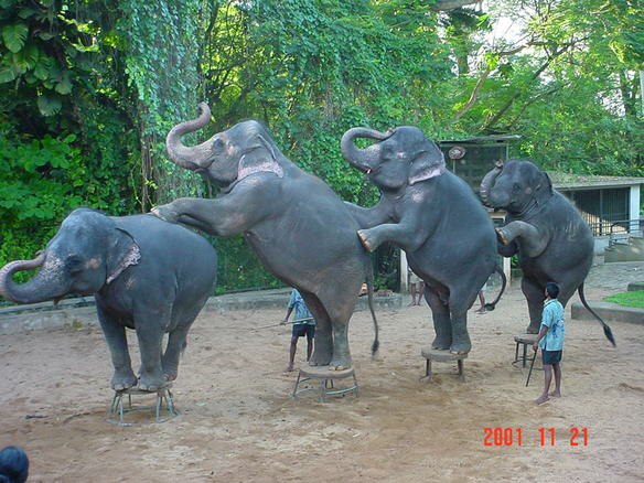
Photo: Wikimedia, CC BY-SA 1.0.
National Zoological Gardens of Sri Lanka is a zoological garden in Dehiwala, Sri Lanka, founded in 1936. The Dehiwala Zoo is now known for its mistreatment and poor facilities for the animals that inhabit it. National Zoological Gardens of Sri Lanka is situated 3 km southwest of Eco Solve.
Places in the Area
Nearby places include Nugegoda and Nawala.
Nugegoda
Town

Photo: Honeplus, CC BY-SA 3.0.
Nugegoda is a large, densely populated suburb of Colombo, Sri Lanka. It is located just south of Sri Jayawardenapura Kotte and north-east of Dehiwela Mt. Lavinia. It has a population of over 250,000 people.
Nawala
Village

Photo: Honeplus, CC BY-SA 3.0.
Nawala is an up-market residential suburb of Colombo, within the Kotte municipality in the western province of Sri Lanka, and is approximately 6 km south of Colombo City.
Sri Jayawardenapura Kotte

Photo: Hkn89, CC BY-SA 3.0.
Sri Jayawardenapura Kotte is the capital city of Sri Lanka. In practice, it is a suburb of Colombo, which completely surrounds it. Over 100,000 people live in Kotte itself.
Eco Solve
- Type: Shop
- Location: Nugegoda West, Sri Jayawardanapur, Colombo District, Western Province, Sri Lanka, South Asia, Asia
- View on OpenStreetMap
Latitude
6.87901° or 6° 52′ 44″ northLongitude
79.89113° or 79° 53′ 28″ eastOpen location code
6JRXVVHR+JFOpenStreetMap ID
node 6741711251OpenStreetMap feature
shop=lighting
This page is based on OpenStreetMap, Wikidata, and Wikimedia Commons.
We’d love your help improving our open data sources. Thank you for contributing.
Satellite Map
Discover Eco Solve from above in high-definition satellite imagery.
Notable Places Nearby
Highlights include HETC Project and Urban Wetland Park.
Nearby Places
Explore places such as Seetec Koncept and The K9.
Western Province: Must-Visit Destinations
Delve into Colombo, Sri Jayawardenapura Kotte, Negombo, and Gampaha.
Curious Shops to Discover
Uncover intriguing shops from every corner of the globe.
About Mapcarta. Data © OpenStreetMap contributors and available under the Open Database License". Text is available under the CC BY-SA 4.0 license, except for photos, directions, and the map. Photo: Simisa, CC BY-SA 3.0.