Privatpraxis Dr. Hager
Privatpraxis Dr. Hager is a doctor’s office in Munich, Upper Bavaria, Bavaria which is located on Oberländerstraße. Privatpraxis Dr. Hager is situated nearby to the arts center Sendlinger Kultuschmiede e.V., as well as near the church Himmelfahrtskirche.| Tap on a place to explore it |
- Email: dr.hager@web.de
- Type: Doctor’s office
- Address: Oberländerstraße 38, München, 81371
Places of Interest Nearby
Highlights include Himmelfahrtskirche and St. Margaret.

St. Margaret
Church
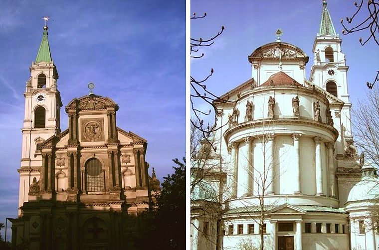
Photo: Wikimedia, CC BY-SA 3.0.
St. Margaret is a church, which is situated 250 metres west of Privatpraxis Dr. Hager.
Alte Pfarrkirche St. Margaret (München)
Church

Photo: Zerohund, CC BY-SA 3.0.
Alte Pfarrkirche St. Margaret (München) is a church, which is situated 220 metres northwest of Privatpraxis Dr. Hager.
Places in the Area
Nearby places include Sendling and South-West.
Sendling
Suburb

Photo: Pimpinellus, CC BY-SA 4.0.
Sendling is a borough of Munich. It is located south-west of the city centre and spans the city boroughs Sendling and Sendling-Westpark. Sendling is subdivided into Obersendling, Mittersendling, and Untersendling.
South-West
South-West Munich is an area of the city of Munich roughly bounded by the railway tracks north, A99 west, the River Isar east, and the tract of land along A96 south.
Privatpraxis Dr. Hager
- Category: health care
- Location: Munich, Upper Bavaria, Bavaria, Germany, Central Europe, Europe
- View on OpenStreetMap
Latitude
48.11966° or 48° 7′ 11″ northLongitude
11.54278° or 11° 32′ 34″ eastOperator
Dr. med. Beate HagerOpen location code
8FWH4G9V+V4OpenStreetMap ID
node 6743676948OpenStreetMap feature
amenity=doctorsOpenStreetMap feature
healthcare=doctor
This page is based on OpenStreetMap, Wikidata, and Wikimedia Commons.
We’d love your help improving our open data sources. Thank you for contributing.
Satellite Map
Discover Privatpraxis Dr. Hager from above in high-definition satellite imagery.
Notable Places Nearby
Highlights include Sendlinger Kultuschmiede e.V. and Himmelfahrtskirche.
Nearby Places
Explore places such as Heads Volu-med Studio and Lijsen & Wiest.
Munich: Must-Visit Destinations
Delve into North Munich, Altstadt, Haidhausen, and Ludwigsvorstadt-Isarvorstadt.
Curious Doctor’s Offices to Discover
Uncover intriguing doctor’s offices from every corner of the globe.
About Mapcarta. Data © OpenStreetMap contributors and available under the Open Database License". Text is available under the CC BY-SA 4.0 license, except for photos, directions, and the map. Photo: Heav84, CC BY-SA 3.0.