Pedra Jesus Vem
Pedra Jesus Vem is a peak in Rio de Janeiro, Southeast. Pedra Jesus Vem is situated nearby to the quarter Barata, as well as near the neighborhood Pau da Fome.| Tap on a place to explore it |
Places of Interest
Highlights include Unidos de Bangu and Estação Mocidade Padre Miguel.
Unidos de Bangu
Community center

Photo: Lidia Czerniecka, CC BY-SA 2.0.
Unidos de Bangu is a community center.
Estação Mocidade Padre Miguel
Railway station
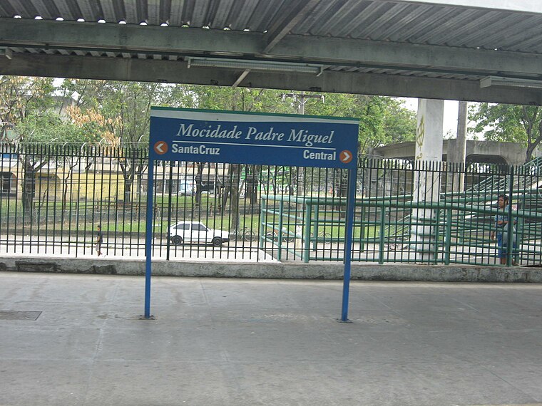
Photo: Junius, Public domain.
Estação Mocidade Padre Miguel is a railway station.
Estação Guilherme da Silveira
Railway station

Photo: Junius, Public domain.
Estação Guilherme da Silveira is a railway station.
Places in the Area
Nearby places include Bangu and Realengo.
Bangu
Suburb

Photo: Neo, Public domain.
Bangu is a neighborhood in the West Zone of Rio de Janeiro, Brazil. It is a middle-class neighborhood. It is located in the western area of the city being one of the most populated districts, with 244,518 inhabitants distributed in an area of 4570.69 ha.
Realengo
Suburb

Photo: Wikimedia, CC BY-SA 2.5.
Realengo is a neighborhood in the West Zone of Rio de Janeiro, Brazil. The lower and middle-class neighborhood is between the Mendanha and Pedra Branca mountains.
Padre Miguel
Suburb
The neighborhood of Padre Miguel is situated in the western region of the city of Rio de Janeiro, is of middle class, and borders the neighborhoods of Bangu and Realengo.
Pedra Jesus Vem
- Type: Peak
- Category: landform
- Location: Rio de Janeiro, Southeast, Brazil, South America
- View on OpenStreetMap
Latitude
-22.909° or 22° 54′ 33″ southLongitude
-43.4477° or 43° 26′ 52″ westOpen location code
589R3HR2+9WOpenStreetMap ID
node 6775842741OpenStreetMap feature
natural=peak
This page is based on OpenStreetMap, Wikidata, and Wikimedia Commons.
We’d love your help improving our open data sources. Thank you for contributing.
Satellite Map
Discover Pedra Jesus Vem from above in high-definition satellite imagery.
Localities in the Area
Explore places such as Barata and Pau da Fome.
Notable Places Nearby
Highlights include Pedra do Osso and Três Irmãs.
Rio de Janeiro: Must-Visit Destinations
Delve into Rio de Janeiro, Petrópolis, Niterói, and Zona Sul.
Curious Peaks to Discover
Uncover intriguing peaks from every corner of the globe.
About Mapcarta. Data © OpenStreetMap contributors and available under the Open Database License". Text is available under the CC BY-SA 4.0 license, except for photos, directions, and the map. Photo: Halleypo, CC BY-SA 3.0.