Boot fahren auf der Donau
Boot fahren auf der Donau is in Sigmaringen, Tübingen Region, Baden-Württemberg. Boot fahren auf der Donau is situated nearby to the community center Festhalle Laiz, as well as near Museum.| Tap on a place to explore it |
Places of Interest Nearby
Highlights include Laiz Power Station and Kloster Gorheim.
Laiz Power Station
Electrical generator

Photo: Zollernalb, CC BY-SA 4.0.
Laiz Power Station is an electrical generator, which is situated 250 metres southeast of Boot fahren auf der Donau.
Kloster Gorheim
Public building

Photo: Louis Bafrance, CC BY-SA 3.0.
Kloster Gorheim is a public building, which is situated 1½ km north of Boot fahren auf der Donau.
Stadthalle Sigmaringen
Community center

Photo: Windharp, CC BY-SA 4.0.
Stadthalle Sigmaringen is a community center, which is situated 1½ km northeast of Boot fahren auf der Donau.
Places in the Area
Nearby places include Inzigkofen and Vilsingen.
Inzigkofen
Village

Photo: Simisa, CC BY-SA 3.0.
Inzigkofen is a municipality in the district of Sigmaringen in Baden-Württemberg in Germany. Historically, it is part of the Swabian north Alpine foreland basin.
Vilsingen
Village

Photo: Simisa, CC BY-SA 3.0.
Vilsingen is a village, which is situated 4 km southwest of Boot fahren auf der Donau.
Sigmaringendorf
Village
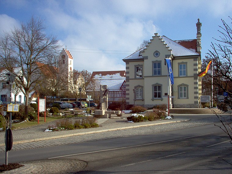
Photo: Louis Bafrance, CC BY-SA 3.0.
Sigmaringendorf is a small town in the district of Sigmaringen in Baden-Württemberg in Germany. In Sigmaringendorf the small river Lauchert flows into the Danube. There is an open-air-theatre in Sigmaringendorf, it's called Waldbühne Sigmaringendorf. Sigmaringendorf is situated 5 km east of Boot fahren auf der Donau.
Boot fahren auf der Donau
- Type: Sign
- Categories: information and tourism
- Location: Sigmaringen, Sigmaringen, Tübingen Region, Bodensee Region, Baden-Württemberg, Germany, Central Europe, Europe
- View on OpenStreetMap
Latitude
48.07662° or 48° 4′ 36″ northLongitude
9.19442° or 9° 11′ 40″ eastOpen location code
8FWF35GV+JQOpenStreetMap ID
node 6797020862OpenStreetMap feature
tourism=information
This page is based on OpenStreetMap, Wikidata, and Wikimedia Commons.
We’d love your help improving our open data sources. Thank you for contributing.
Satellite Map
Discover Boot fahren auf der Donau from above in high-definition satellite imagery.
Places with the Same Name
Discover other places named “Boot fahren auf der Donau”.
Notable Places Nearby
Highlights include Festhalle Laiz and Museum.
Nearby Places
Explore places such as Laiz Festhalle and Festhalle.
Bodensee Region: Must-Visit Destinations
Delve into Konstanz, Friedrichshafen, Ravensburg, and Überlingen.
Curious Places to Discover
Uncover intriguing places from every corner of the globe.
About Mapcarta. Data © OpenStreetMap contributors and available under the Open Database License". Text is available under the CC BY-SA 4.0 license, except for photos, directions, and the map. Photo: Berthold Werner, CC BY-SA 4.0.