Heroldo
Heroldo is a real estate agent in Opština Ćuprija, Pomoravlje District, Central Serbia. Heroldo is situated nearby to the town hall Општина Ћуприја, as well as near the park Моравски парк.| Tap on a place to explore it |
Places in the Area
Nearby places include Ćuprija and Mijatovac.
Ćuprija
Town
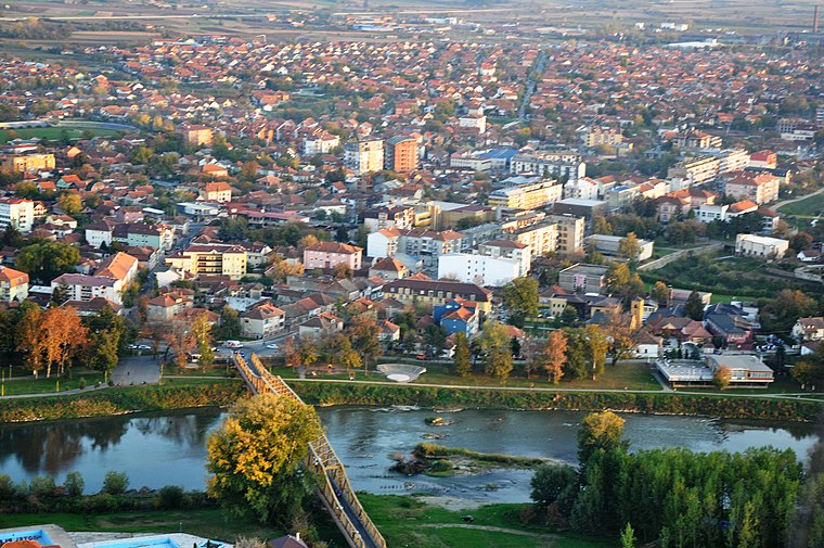
Photo: SasaKokalj, CC BY-SA 4.0.
Ćuprija is a town and municipality located in the Pomoravlje District of central Serbia. The population of the town is 16,522, while the municipality has 25,325 inhabitants.
Mijatovac
Village
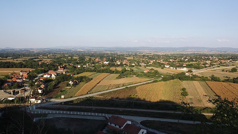
Photo: Wikimedia, CC BY 3.0 rs.
Mijatovac is a village in Serbia. It is part of the municipality of Ćuprija, and the district of Pomoravlje, in central Serbia. Mijatovac is situated 3½ km northwest of Heroldo.
Supska
Village
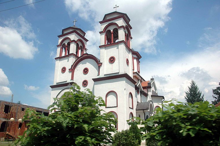
Photo: 3122WIKI, CC BY-SA 3.0.
Supska is a village in the municipality of Ćuprija, Serbia. According to the 2002 census, the village has a population of 1434 people. Supska is situated 4 km north of Heroldo.
Heroldo
- Type: Real estate agent
- Category: office
- Location: Opština Ćuprija, Pomoravlje District, Central Serbia, Serbia, Balkans, Europe
- View on OpenStreetMap
Latitude
43.93672° or 43° 56′ 12″ northLongitude
21.37118° or 21° 22′ 16″ eastOpen location code
8GM3W9PC+MFOpenStreetMap ID
node 6805694590OpenStreetMap feature
office=estate_agent
This page is based on OpenStreetMap, Wikidata, and Wikimedia Commons.
We’d love your help improving our open data sources. Thank you for contributing.
Satellite Map
Discover Heroldo from above in high-definition satellite imagery.
Notable Places Nearby
Highlights include Општина Ћуприја and Моравски парк.
Nearby Places
Explore places such as Kiosk and Super Kolor.
Serbia: Must-Visit Destinations
Delve into Belgrade, Novi Sad, Niš, and Kragujevac.
Curious Real Estate Agents to Discover
Uncover intriguing real estate agents from every corner of the globe.
About Mapcarta. Data © OpenStreetMap contributors and available under the Open Database License". Text is available under the CC BY-SA 4.0 license, except for photos, directions, and the map. Photo: Lošmi, CC BY-SA 3.0.