Rd Point Aamara Rifi R
Rd Point Aamara Rifi R is a bus stop in Nador, Oriental. Rd Point Aamara Rifi R is situated nearby to the public building Agence Urbaine De Nador, as well as near the bus station CTM.| Tap on a place to explore it |
Places of Interest Nearby
Highlights include Nador-Ville railway station.
Nador-Ville railway station
Railway station

Photo: Tonkie, CC BY-SA 3.0.
Nador-Ville railway station is situated 570 metres north of Rd Point Aamara Rifi R.
Places in the Area
Nearby places include Bni Bouifrour and Segangan.
Bni Bouifrour
Village
Bni Bouifrour or Ait Bouifrour is a commune in the Nador Province of the Oriental administrative region of Morocco. At the time of the 2014 census, the commune had a total population of 17,090 people. Bni Bouifrour is situated 6 km southwest of Rd Point Aamara Rifi R.
Segangan
Town

Photo: MoubarikBelkasim, CC BY-SA 3.0.
Azeghanghane is a town and municipality in the province of Nador, Oriental, Morocco. It is one of the major towns of the province. According to the 2014 census, its population was 34,025. Segangan is situated 7 km west of Rd Point Aamara Rifi R.
Beni Ansar
Town
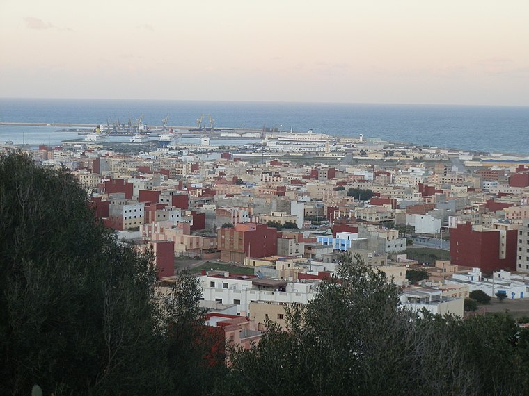
Photo: Aït Nsar, CC BY-SA 3.0.
Beni Ansar is a town in Nador Province, Oriental, Morocco, located 12 km north of the city of Nador. It is bordered on the north by the Spanish city of Melilla. Beni Ansar is situated 9 km north of Rd Point Aamara Rifi R.
Rd Point Aamara Rifi R
- Type: Bus stop
- Category: transportation
- Location: Nador, Nador Province, Oriental, Mediterranean Morocco, Morocco, North Africa, Africa
- View on OpenStreetMap
Latitude
35.1788° or 35° 10′ 44″ northLongitude
-2.92854° or 2° 55′ 43″ westOperator
VectaliaNetwork
Vectalia NadorOpen location code
8C7V53HC+GHOpenStreetMap ID
node 6805872706OpenStreetMap feature
highway=bus_stopOpenStreetMap feature
public_transport=platform
This page is based on OpenStreetMap, Wikidata, and Wikimedia Commons.
We’d love your help improving our open data sources. Thank you for contributing.
Satellite Map
Discover Rd Point Aamara Rifi R from above in high-definition satellite imagery.
Notable Places Nearby
Highlights include Agence Urbaine De Nador and CTM.
Nearby Places
Explore places such as Pharmacie Andalouss صيدلية أندلس and restaurant Marhaba.
Mediterranean Morocco: Must-Visit Destinations
Delve into Tangier, Tétouan, Oujda, and Chefchaouen.
Curious Bus Stops to Discover
Uncover intriguing bus stops from every corner of the globe.
About Mapcarta. Data © OpenStreetMap contributors and available under the Open Database License". Text is available under the CC BY-SA 4.0 license, except for photos, directions, and the map. Photo: Tonkie, CC BY-SA 3.0.