U. Theobald
U. Theobald is a kiosk in Saarlouis, Saarland. U. Theobald is situated nearby to the town hall Rathaus Saarlouis, as well as near the casino Spielkönig Nr.1.| Tap on a place to explore it |
- Opening hours:
Monday—Thursday: 9:00 AM—6:00 PM
Friday: 8:00 AM—6:30 PM
Saturday: 8:00 AM—4:30 PM
public holidays and Sunday: closed - Type: Kiosk
- Wheelchair access: yes
Places of Interest Nearby
Highlights include Rathaus Saarlouis and Kommandantur.
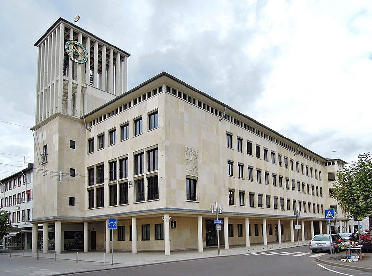
Kommandantur

Photo: Xocolatl, Public domain.
Kommandantur is situated 150 metres south of U. Theobald.
St. Ludwig
Church

Photo: Wikimedia, CC BY-SA 4.0.
St. Ludwig is a church, which is situated 150 metres east of U. Theobald.
Places in the Area
Nearby places include Beaumarais and Wallerfangen.

Wallerfangen
Village

Photo: Kolling, CC BY-SA 3.0.
Wallerfangen is a municipality of Saarlouis district, Saarland, Germany. Located west of Saarlouis and along the French border, it is the seat of the villages of Ittersdorf, Ihn, Leidingen, St. Wallerfangen is situated 2½ km northwest of U. Theobald.
Ensdorf
Village

Photo: Lokilech, CC BY-SA 3.0.
Ensdorf is a municipality in the district of Saarlouis, in Saarland, Germany. It is on the right bank of the river Saar, opposite Saarlouis, approximately 20 km northwest of Saarbrücken. Ensdorf is situated 2½ km southeast of U. Theobald.
U. Theobald
- Category: shop
- Location: Saarlouis, Saarlouis, Saarland, Germany, Central Europe, Europe
- View on OpenStreetMap
Latitude
49.31643° or 49° 18′ 59″ northLongitude
6.74953° or 6° 44′ 58″ eastOpen location code
8FX88P8X+HROpenStreetMap ID
node 6879285549OpenStreetMap feature
shop=kioskOpenStreetMap attribute
wheelchair=yes
This page is based on OpenStreetMap, Wikidata, and Wikimedia Commons.
We’d love your help improving our open data sources. Thank you for contributing.
Satellite Map
Discover U. Theobald from above in high-definition satellite imagery.
Notable Places Nearby
Highlights include Spielkönig Nr.1 and Capitol Movie-World.
Nearby Places
Explore places such as Hörgeräte Neri and Singer.
Saarland: Must-Visit Destinations
Delve into Saarbrücken, Homburg, Merzig, and Neunkirchen.
Curious Kiosks to Discover
Uncover intriguing kiosks from every corner of the globe.
About Mapcarta. Data © OpenStreetMap contributors and available under the Open Database License". Text is available under the CC BY-SA 4.0 license, except for photos, directions, and the map. Photo: wolfgangstaudt, CC BY 2.0.