Dia
Dia is a supermarket in Portugalete, Biscay, Basque Country. Dia is situated nearby to the church Iglesia de la Sagrada Familia, as well as near Mateo Hernández Eskolamaisuaren plaza.| Tap on a place to explore it |
- Type: Supermarket
- Address: Portugalete
- Wheelchair access: yes
Places of Interest Nearby
Highlights include Vizcaya Bridge and Train station of Portugalete.
Vizcaya Bridge

Photo: Ebaki, CC BY-SA 4.0.
The Vizcaya Bridge is a transporter bridge that links the towns of Portugalete and Las Arenas in the Biscay province of Spain, crossing the mouth of the Nervion River. Vizcaya Bridge is situated 800 metres north of Dia.
Train station of Portugalete
Railway station

Photo: Wikimedia, CC BY-SA 3.0.
Train station of Portugalete is a railway station, which is situated 290 metres north of Dia.
Rialia Museum of Industry in Portugalete
Museum

Photo: Xosema, CC BY-SA 4.0.
Rialia Museum of Industry in Portugalete is situated 350 metres northeast of Dia.
Places in the Area
Nearby places include Portugalete and Azeta.
Portugalete
Town
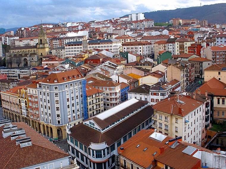 Portugalete is a town lying to the west of Bilbao in the province of Biscay in the Autonomous Community of the Basque Country, northern Spain. The town has 45,294 inhabitants as of 2021 and is part of Bilbao's metropolitan area.

Sestao
Town
 Sestao is a town and municipality of 27,296 inhabitants located in the province of Biscay, in the autonomous community of Basque Country, northern Spain.
Dia
- Categories: shop and food
- Location: Portugalete, Biscay, Basque Country, Northern Spain, Spain, Iberia, Europe
- View on OpenStreetMap
Latitude
43.31607° or 43° 18′ 58″ northLongitude
-3.01629° or 3° 0′ 59″ westBrand
DiaOpen location code
8CMR8X8M+CFOpenStreetMap ID
node 6919039729OpenStreetMap feature
shop=supermarketOpenStreetMap attribute
wheelchair=yes
This page is based on OpenStreetMap, Wikidata, and Wikimedia Commons.
We’d love your help improving our open data sources. Thank you for contributing.
Satellite Map
Discover Dia from above in high-definition satellite imagery.
Places with the Same Name
Discover other places named “Dia”.
Notable Places Nearby
Highlights include Iglesia de la Sagrada Familia and Mateo Hernández Eskolamaisuaren plaza.
Nearby Places
Explore places such as Carrefour Express and Atelier.
Basque Country: Must-Visit Destinations
Delve into Bilbao, San Sebastián, Vitoria-Gasteiz, and Guernica.
Curious Supermarkets to Discover
Uncover intriguing supermarkets from every corner of the globe.
About Mapcarta. Data © OpenStreetMap contributors and available under the Open Database License". Text is available under the CC BY-SA 4.0 license, except for photos, directions, and the map. Photo: Ander Abadia Zallo, CC BY 4.0.