Dr. Michael Rosenberg
Dr. Michael Rosenberg is a doctor’s office in Schwerte, Unna, North Rhine-Westphalia. Dr. Michael Rosenberg is situated nearby to the health club Körperformen Schwerte EMS, as well as near the sports venue Stadtbad Schwerte.| Tap on a place to explore it |
Places of Interest Nearby
Highlights include Marienkrankenhaus Schwerte and Ruhrtalmuseum.
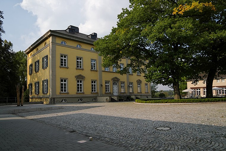
Marienkrankenhaus Schwerte
Hospital

Photo: Kogge, CC BY-SA 3.0.
Marienkrankenhaus Schwerte is a hospital, which is situated 320 metres west of Dr. Michael Rosenberg.
Ruhrtalmuseum
Museum

Photo: Wikimedia, Public domain.
Ruhrtalmuseum is situated 380 metres southwest of Dr. Michael Rosenberg.
St.-Victor- church
Church

Photo: Wikimedia, Public domain.
St.-Victor- church is situated 380 metres south of Dr. Michael Rosenberg.
Places in the Area
Nearby places include Villigst and Ergste.
Villigst
Suburb
 Villigst is a Stadtteil of the city Schwerte in North Rhine-Westphalia, Germany. On 31 December 2012, Villigst had a population of 3.309 inhabitants. It lies south of the river Ruhr near Sauerland.
Ergste
Suburb
Ergste is a stadtbezirk of the town of Schwerte in Germany. As of 31 December 2012, Ergste had a population of 7025 inhabitants. It lies south of the river Ruhr near Sauerland. Ergste is situated 3 km south of Dr. Michael Rosenberg.
Westhofen
Suburb

Photo: DINO2411, CC BY-SA 3.0.
Westhofen is a suburb, which is situated 3½ km southwest of Dr. Michael Rosenberg.
Dr. Michael Rosenberg
- Type: Doctor’s office
- Category: health care
- Location: Schwerte, Unna, Arnsberg, North Rhine-Westphalia, Germany, Central Europe, Europe
- View on OpenStreetMap
Latitude
51.44351° or 51° 26′ 37″ northLongitude
7.57231° or 7° 34′ 20″ eastOpen location code
9F39CHVC+CWOpenStreetMap ID
node 6940277522OpenStreetMap feature
amenity=doctorsOpenStreetMap feature
healthcare=doctor
This page is based on OpenStreetMap, Wikidata, and Wikimedia Commons.
We’d love your help improving our open data sources. Thank you for contributing.
Satellite Map
Discover Dr. Michael Rosenberg from above in high-definition satellite imagery.
Notable Places Nearby
Highlights include Körperformen Schwerte EMS and Stadtbad Schwerte.
Nearby Places
Explore places such as Siegwart Struck and Ostenstraße / Stadtbad.
North Rhine-Westphalia: Must-Visit Destinations
Delve into Cologne, Düsseldorf, Bonn, and Dortmund.
Curious Doctor’s Offices to Discover
Uncover intriguing doctor’s offices from every corner of the globe.
About Mapcarta. Data © OpenStreetMap contributors and available under the Open Database License". Text is available under the CC BY-SA 4.0 license, except for photos, directions, and the map. Photo: Daniel Schwen, CC BY-SA 2.5.