Dohrenberg
Dohrenberg is a shelter in Einbeck, Northeim, Lower Saxony. Dohrenberg is situated nearby to the cemetery Kriegsgräberstätte Salzderhelden, as well as near the peak Großer Helden-Berg.| Tap on a place to explore it |
Places of Interest Nearby
Highlights include Einbeck-Salzderhelden station and Heldenburg.
Einbeck-Salzderhelden station
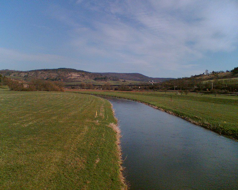
Railway station

Photo: flamenc, CC BY-SA 3.0.
Einbeck-Salzderhelden station is the most important station in Einbeck in the German state of Lower Saxony. It is classified by Deutsche Bahn as a category 5 station and is located in the district of Einbeck of Salzderhelden. Einbeck-Salzderhelden station is situated 1 km south of Dohrenberg.
Heldenburg
Castle

Photo: Carschten, CC BY-SA 3.0 de.
Heldenburg is a castle, which is situated 1 km southwest of Dohrenberg.
Places in the Area
Nearby places include Salzderhelden and Volksen.


Dohrenberg
- Type: Shelter
- Location: Einbeck, Northeim, Southern Lower Saxony, Lower Saxony, Germany, Central Europe, Europe
- View on OpenStreetMap
Latitude
51.80638° or 51° 48′ 23″ northLongitude
9.92077° or 9° 55′ 15″ eastOpen location code
9F3FRW4C+H8OpenStreetMap ID
node 6967124913OpenStreetMap feature
amenity=shelter
This page is based on OpenStreetMap, Wikidata, and Wikimedia Commons.
We’d love your help improving our open data sources. Thank you for contributing.
Satellite Map
Discover Dohrenberg from above in high-definition satellite imagery.
Places with the Same Name
Discover other places named “Dohrenberg”.
Notable Places Nearby
Highlights include Kriegsgräberstätte Salzderhelden and Dohren-Berg.
Nearby Places
Explore places such as Der Hungerbrunnen and T.Z.S..
Southern Lower Saxony: Must-Visit Destinations
Delve into Göttingen, Goslar, Hamelin, and Hann. Münden.
Curious Shelters to Discover
Uncover intriguing shelters from every corner of the globe.
About Mapcarta. Data © OpenStreetMap contributors and available under the Open Database License". Text is available under the CC BY-SA 4.0 license, except for photos, directions, and the map. Photo: Tilman2007, CC BY-SA 4.0.