Integrationsfachdienst Mitte
Integrationsfachdienst Mitte is a social service facility in Berlin, Berlin which is located on Linkstraße. Integrationsfachdienst Mitte is situated nearby to the bridge George-C.-Marshall-Brücke, as well as near the hotel Scandic Berlin Potsdamer Platz.| Tap on a place to explore it |
- Email: info@ifdmitte.berlin
- Type: Social service facility
- Also known as: “IFD Mitte”
- Address: Linkstraße 12, Tiergarten, Berlin, 10785
- Wheelchair access: yes
Places of Interest Nearby
Highlights include Brandenburg Gate and Neue Nationalgalerie.
Brandenburg Gate

Photo: Der Wolf im Wald, CC BY-SA 3.0.
The Brandenburg Gate is an 18th-century neoclassical monument in Berlin. One of the best-known landmarks of Germany, it was erected on the site of a former city gate that marked the start of the road from Berlin to Brandenburg an der Havel, the former capital of the Margraviate of Brandenburg. Brandenburg Gate is situated 1¼ km north of Integrationsfachdienst Mitte.
Neue Nationalgalerie
Museum
 The Neue Nationalgalerie at the Kulturforum is a museum for modern art in Berlin, with its main focus on the 20th century. It is part of the National Gallery of the Berlin State Museums. Neue Nationalgalerie is situated 470 metres northwest of Integrationsfachdienst Mitte.
Checkpoint Charlie

Photo: Adrian Purser, CC BY-SA 2.0.
Checkpoint Charlie was the Western Bloc's name for the best-known Berlin Wall crossing point between East Berlin and West Berlin during the Cold War, becoming a symbol of the Cold War, representing the separation of East and West. Checkpoint Charlie is situated 1¼ km east of Integrationsfachdienst Mitte.
Places in the Area
Nearby places include Tiergarten and Friedrichstadt.
Tiergarten
Suburb

Photo: Wikimedia, CC BY-SA 3.0.
Tiergarten is a locality within the borough of Mitte, in central Berlin. Notable for the great and homonymous urban park, before German reunification, it was a part of West Berlin.
Friedrichstadt
Quarter
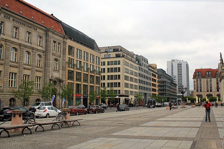
Photo: Tanweer Morshed, CC BY-SA 3.0.
Friedrichstadt was an independent suburb of Berlin, and is now a historical neighbourhood of the city itself. The neighbourhood is named after the Prussian king Frederick I.

Integrationsfachdienst Mitte
- Location: Berlin, Berlin, Stadt, Berlin, Germany, Central Europe, Europe
- View on OpenStreetMap
Latitude
52.50488° or 52° 30′ 18″ northLongitude
13.37353° or 13° 22′ 25″ eastOperator
Union Sozialer Einrichtungen gGmbHOpen location code
9F4MG93F+XCOpenStreetMap ID
node 7004080958OpenStreetMap feature
amenity=social_facilityOpenStreetMap attribute
wheelchair=yes
This page is based on OpenStreetMap, Wikidata, and Wikimedia Commons.
We’d love your help improving our open data sources. Thank you for contributing.
Satellite Map
Discover Integrationsfachdienst Mitte from above in high-definition satellite imagery.
Notable Places Nearby
Highlights include Scandic Berlin Potsdamer Platz and George-C.-Marshall-Brücke.
Nearby Places
Explore places such as Bundesverband der deutschen Volksbanken Raiffeisenbanken e.V. and Pfizer Deutschland GmbH.
Berlin: Must-Visit Destinations
Delve into Mitte, East Central, City West, and East Berlin.
Curious Social Service Facilities to Discover
Uncover intriguing social service facilities from every corner of the globe.
About Mapcarta. Data © OpenStreetMap contributors and available under the Open Database License". Text is available under the CC BY-SA 4.0 license, except for photos, directions, and the map. Photo: Berthold Werner, CC BY-SA 3.0.