Uvala Vruljice
Uvala Vruljice is a bay in Municipality of Tkon, Zadar County.| Tap on a place to explore it |
Places of Interest
Highlights include Ćokovac monastery and Sveta Katarina.


Galešnjak
Island
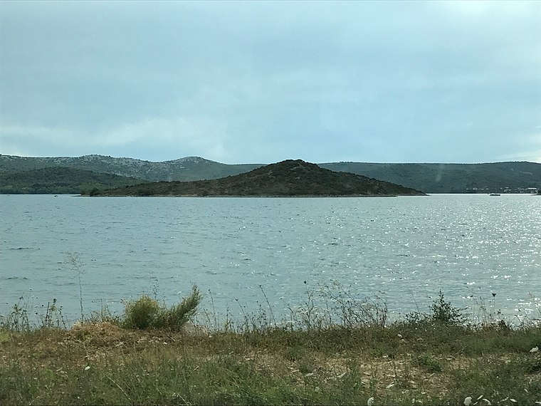
Photo: Tristan Surtel, CC BY-SA 4.0.
Galešnjak is located in the Pašman Canal of the Adriatic, between the islands of Pašman and the town of Turanj on mainland Croatia. It is one of the world's few naturally occurring heart-shaped objects.
Places in the Area
Nearby places include Biograd na Moru and Pašman.
Biograd na Moru

Photo: Wikimedia, CC BY-SA 3.0.
Biograd na Moru, shortened to simply Biograd, is a town in northern Dalmatia in Croatia. It is significant for being another capital of the medieval Kingdom of Croatia.
Pašman

Photo: Coralie Ferreira, CC BY 2.5.
Pašman is an island with a surface area of 60 square kilometers, separated from the mainland by the Pašman Channel, which is strewn all over with many islets.
Sv. Filipi i Jakov
Village

Photo: Matio, CC BY-SA 4.0.
Sveti Filip i Jakov is a village and a municipality in the Zadar County in Croatia.
Uvala Vruljice
- Type: Bay
- Category: body of water
- Location: Municipality of Tkon, Zadar County, Croatia, Balkans, Europe
- View on OpenStreetMap
Latitude
43.924° or 43° 55′ 26″ northLongitude
15.4161° or 15° 24′ 58″ eastOpen location code
8FMQWCF8+HFOpenStreetMap ID
node 7024274783OpenStreetMap feature
natural=bay
This page is based on OpenStreetMap, Wikidata, and Wikimedia Commons.
We’d love your help improving our open data sources. Thank you for contributing.
Satellite Map
Discover Uvala Vruljice from above in high-definition satellite imagery.
Places with the Same Name
Discover other places named “Uvala Vruljice”.
Localities in the Area
Explore places such as Tkon and Ugrinić.
Notable Places Nearby
Highlights include Tkon harbour and Dječji grad Volkswagen.
Croatia: Must-Visit Destinations
Delve into Zagreb, Dubrovnik, Split, and Rijeka.
Curious Bays to Discover
Uncover intriguing bays from every corner of the globe.
About Mapcarta. Data © OpenStreetMap contributors and available under the Open Database License". Text is available under the CC BY-SA 4.0 license, except for photos, directions, and the map. Photo: Wikimedia, CC BY-SA 3.0.