USO Airport Center
USO Airport Center is an office in Decatur Township, Marion, Indiana. USO Airport Center is situated nearby to the police station Indianapolis Airport Police Department, as well as near the art gallery Tom Duffy - Harvesting Limestone.| Tap on a place to explore it |
Places of Interest Nearby
Highlights include Indianapolis International Airport and Indianapolis Air Route Traffic Control Center.
Indianapolis International Airport
Aerodrome
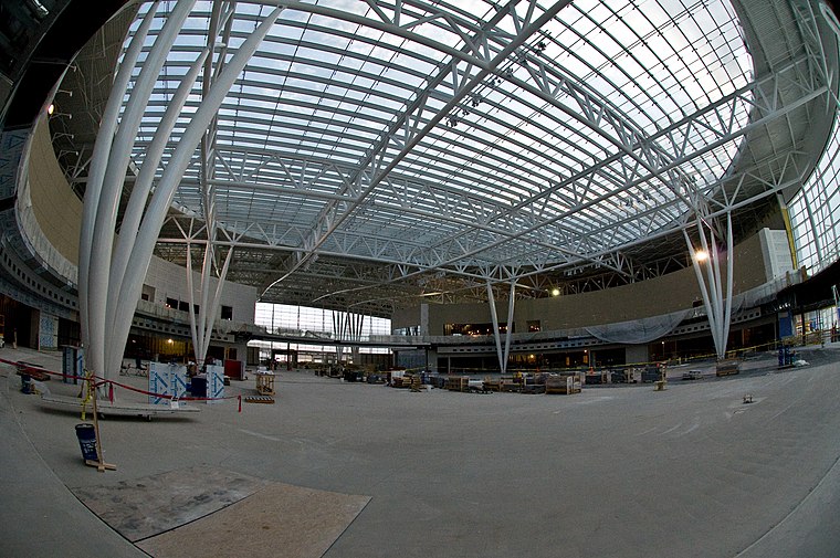
Photo: Josh Hallett, CC BY-SA 2.0.
Indianapolis International Airport is an international airport located seven miles southwest of Downtown Indianapolis in Marion County, Indiana, United States.
Indianapolis Air Route Traffic Control Center
Indianapolis Air Route Traffic Control Center, is one of 22 established FAA Area Control Centers, and is physically located at 1850 South Sigsbee Street, Indianapolis, Indiana. Indianapolis Air Route Traffic Control Center is situated 2 miles northeast of USO Airport Center.Decatur Central High School
School
Decatur Central High School is a public high school in Indianapolis, Indiana, United States. Decatur Central High School is situated 2 miles southeast of USO Airport Center.
Places in the Area
Nearby places include Bridgeport and Six Points.
Bridgeport
Hamlet

Photo: Wikimedia, Public domain.
Bridgeport is a neighborhood located in Indianapolis, Marion County, Indiana. It was previously a small village with a post office and stores, but later became part of Indianapolis. Bridgeport is situated 1½ miles northwest of USO Airport Center.
Six Points
Hamlet
Six Points is an unincorporated community in Washington Township, Hendricks County, Indiana. Its name refers to the junction of two streets and a railroad. Six Points is situated 2 miles west of USO Airport Center.
West Newton
Hamlet
West Newton, Indiana is a neighborhood located in southwestern Indianapolis. West Newton is situated ten miles southwest of downtown Indianapolis in south central Decatur Township. West Newton is situated 4½ miles south of USO Airport Center.
USO Airport Center
- Type: Office
- Location: Decatur Township, Marion, Indiana, Midwest, United States, North America
- View on OpenStreetMap
Latitude
39.71459° or 39° 42′ 53″ northLongitude
-86.29804° or 86° 17′ 53″ westOpen location code
86FMPP72+RQOpenStreetMap ID
node 7024593650OpenStreetMap feature
office=yes
This page is based on OpenStreetMap, Wikidata, and Wikimedia Commons.
We’d love your help improving our open data sources. Thank you for contributing.
Satellite Map
Discover USO Airport Center from above in high-definition satellite imagery.
Notable Places Nearby
Highlights include Indianapolis Airport Police Department and Tom Duffy - Harvesting Limestone.
Nearby Places
Explore places such as Delta Baggage Service and United Baggage Service.
Indiana: Must-Visit Destinations
Delve into Indianapolis, Fort Wayne, Gary, and Evansville.
Curious Offices to Discover
Uncover intriguing offices from every corner of the globe.
About Mapcarta. Data © OpenStreetMap contributors and available under the Open Database License". Text is available under the CC BY-SA 4.0 license, except for photos, directions, and the map. Photo: Wikimedia, CC0.