Deuberg
Deuberg is a peak in Waltershausen, Gotha, Thuringia and has an elevation of 392 metres. Deuberg is situated nearby to the locality Sängerplatz, as well as near the village Schwarzhausen.| Tap on a place to explore it |
Places of Interest
Highlights include Nonnenberg and Grübel Berg.


Places in the Area
Nearby places include Bad Tabarz and Seebach.
Bad Tabarz
Village
 Bad Tabarz is a municipality in the district of Gotha, in Thuringia, Germany. It is a winter sports resort and the terminus of the Thüringerwaldbahn rural tramway.
Seebach
Village

Photo: Metilsteiner, CC BY-SA 3.0.
Seebach is a municipality in the Wartburgkreis district of Thuringia, Germany.
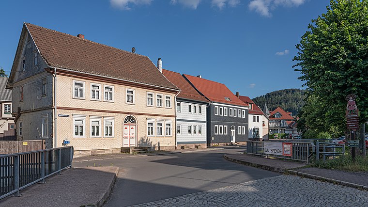
Mechterstädt
Village

Photo: Metilsteiner, CC BY-SA 4.0.
Mechterstädt is a village and a former municipality in the district of Gotha in Thuringia, Germany. Since 1 December 2011, it is part of the municipality Hörsel.
Deuberg
- Type: Peak with an elevation of 392 metres
- Category: landform
- Location: Waltershausen, Gotha, Thuringia, Germany, Central Europe, Europe
- View on OpenStreetMap
Latitude
50.9058° or 50° 54′ 21″ northLongitude
10.4731° or 10° 28′ 23″ eastElevation
392 metres (1,286 feet)Open location code
9F2GWF4F+86OpenStreetMap ID
node 7040618922OpenStreetMap feature
natural=peak
This page is based on OpenStreetMap, Wikidata, and Wikimedia Commons.
We’d love your help improving our open data sources. Thank you for contributing.
Satellite Map
Discover Deuberg from above in high-definition satellite imagery.
Localities in the Area
Explore places such as Sängerplatz and Schwarzhausen.
Notable Places Nearby
Highlights include Protestant Church Schwarzhausen and Feuerwehr Schwarzhausen.
Curious Peaks to Discover
Uncover intriguing peaks from every corner of the globe.
About Mapcarta. Data © OpenStreetMap contributors and available under the Open Database License". Text is available under the CC BY-SA 4.0 license, except for photos, directions, and the map. Photo: Taxiarchos228, FAL.