1382 Marielyst skole
1382 Marielyst skole is an electrical substation in Gladsaxe Municipality, Capital Region. 1382 Marielyst skole is situated nearby to the police station Nærpolitienheden i Høje Gladsaxe, as well as near the shopping center Høje Gladsaxe Center.| Tap on a place to explore it |
Places of Interest Nearby
Highlights include Gladsaxe Stadium and Haraldskirken.
Gladsaxe Stadium
Stadium
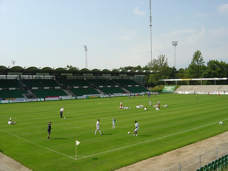
Photo: Froztbyte, CC BY-SA 3.0.
Gladsaxe Stadium is a sports center located on Gladsaxevej 200, Søborg, Gladsaxe Municipality, in Copenhagen, which is primarily used for association football matches. Gladsaxe Stadium is situated 330 metres northwest of 1382 Marielyst skole.
Haraldskirken
Church

Photo: Wikimedia, CC BY-SA 2.5.
Haraldskirken is a church, which is situated 180 metres southwest of 1382 Marielyst skole.
Tinghøj Batteri
Fort

Photo: Sooe, Public domain.
Tinghøj Batteri is a fort, which is situated 750 metres northwest of 1382 Marielyst skole.
Places in the Area
Nearby places include Søborg and Tingbjerg.
Søborg
Suburb

Photo: Pechke, Public domain.
Søborg is a neighbourhood in Gladsaxe Municipality, located some 10 km northwest of central Copenhagen, Denmark.
Tingbjerg
Quarter

Photo: Tingbjerg, Public domain.
Tingbjerg is a large housing project designed and built from 1950 to 1972 by Steen Eiler Rasmussen as principal architect. It is located in Copenhagen County, 6 km northwest of the center of Copenhagen in Denmark.

1382 Marielyst skole
- Type: Electrical substation
- Category: industry
- Location: Gladsaxe Municipality, Capital Region, Denmark, Nordic countries, Europe
- View on OpenStreetMap
Latitude
55.73041° or 55° 43′ 50″ northLongitude
12.4999° or 12° 29′ 60″ eastOperator
NexelOpen location code
9F7JPFJX+5XOpenStreetMap ID
node 7077776283
This page is based on OpenStreetMap, Wikidata, and Wikimedia Commons.
We’d love your help improving our open data sources. Thank you for contributing.
Satellite Map
Discover 1382 Marielyst skole from above in high-definition satellite imagery.
Notable Places Nearby
Highlights include Høje Gladsaxe Center and Nærpolitienheden i Høje Gladsaxe.
Nearby Places
Explore places such as OK and Lidl.
Denmark: Must-Visit Destinations
Delve into Copenhagen, Aarhus, Odense, and Aalborg.
Curious Electrical Substations to Discover
Uncover intriguing electrical substations from every corner of the globe.
About Mapcarta. Data © OpenStreetMap contributors and available under the Open Database License". Text is available under the CC BY-SA 4.0 license, except for photos, directions, and the map. Photo: Wikimedia, CC BY-SA 3.0.