Dragsfjärdin uimaranta
Dragsfjärdin uimaranta is a beach in Kimitoön, Åboland-Turunmaa, Finland Proper. Dragsfjärdin uimaranta is situated nearby to the community center Furulund, as well as near Dragsfjärd Church.| Tap on a place to explore it |
Places of Interest Nearby
Highlights include Dragsfjärd Church.
Dragsfjärd Church
Church

Photo: Ufinne, CC BY-SA 3.0.
Dragsfjärd Church is situated 420 metres north of Dragsfjärdin uimaranta.
Places in the Area
Nearby places include Dragsfjärd and Dalsbruk.
Dragsfjärd
Town

Photo: Wikimedia, CC BY-SA 2.0.
Dragsfjärd is a former municipality of Finland. On 1 January 2009 it was consolidated with Kimito and Västanfjärd to form the new municipality of Kimitoön.
Dalsbruk
Town

Photo: Zache, CC BY-SA 3.0.
Dalsbruk is a small town with about 1000 inhabitants in the municipality of Kemiönsaari in Southwest Finland. Until 2009, Dalsbruk was the central settlement of the former municipality of Dragsfjärd, when the municipalities of Kemiö, Västanfjärd, and Dragsfjärd merged to form Kemiönsaari. Dalsbruk is situated 6 km south of Dragsfjärdin uimaranta.
Björkboda
Village
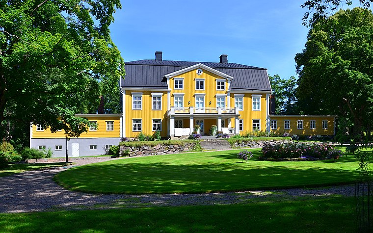
Photo: Esquilo, CC BY-SA 3.0.
Björkboda is a village, which is situated 6 km northeast of Dragsfjärdin uimaranta.
Dragsfjärdin uimaranta
- Type: Beach
- Category: landform
- Location: Kimitoön, Åboland-Turunmaa, Archipelago Sea, Finland Proper, West Coast, Finland, Nordic countries, Europe
- View on OpenStreetMap
Latitude
60.06922° or 60° 4′ 9″ northLongitude
22.47094° or 22° 28′ 15″ eastOpen location code
9GG43F9C+M9OpenStreetMap ID
node 7079452703OpenStreetMap feature
natural=beach
This page is based on OpenStreetMap, Wikidata, and Wikimedia Commons.
We’d love your help improving our open data sources. Thank you for contributing.
Satellite Map
Discover Dragsfjärdin uimaranta from above in high-definition satellite imagery.
Notable Places Nearby
Highlights include Furulund and Dragsfjärd Church belfry.
Nearby Places
Explore places such as Road cafe Yttis and KAPELLBACKEN L.
Archipelago Sea: Must-Visit Destinations
Delve into Turku, Naantali, Nagu, and Pargas.
Curious Beaches to Discover
Uncover intriguing beaches from every corner of the globe.
About Mapcarta. Data © OpenStreetMap contributors and available under the Open Database License". Text is available under the CC BY-SA 4.0 license, except for photos, directions, and the map. Photo: Urjanhai, CC BY-SA 3.0.