Ober Wolfsberg
Ober Wolfsberg is in Bauma, Pfäffikon District, Canton of Zurich and has an elevation of 876 metres. Ober Wolfsberg is situated nearby to the historic site Burgstelle Oberer Wolfsberg, as well as near the peak Tännler.| Tap on a place to explore it |
Places of Interest Nearby
Highlights include Bauma railway station and Neuthal museum spinning mill.
Bauma railway station
Railway station

Photo: Bobo11, CC BY-SA 3.0.
Bauma railway station is a railway station in the Swiss canton of Zurich and municipality of Bauma. The station is situated at the junction of the Töss Valley railway line, which is still in full use, and the Uerikon to Bauma railway, which is partly closed and partly used as a heritage railway. Bauma railway station is situated 2 km north of Ober Wolfsberg.
Neuthal museum spinning mill
Museum

Photo: Sternenjaeger, CC BY-SA 4.0.
Neuthal museum spinning mill is situated 1½ km west of Ober Wolfsberg.
Greifenberg Castle
Castle

Photo: Roland zh, CC BY-SA 3.0.
Greifenberg Castle is a ruined castle in the municipality of Bäretswil and the canton of Zürich in Switzerland. It is a Swiss heritage site of national significance. Greifenberg Castle is situated 2 km southwest of Ober Wolfsberg.
Places in the Area
Nearby places include Bauma and Neuthal.
Bauma
Village
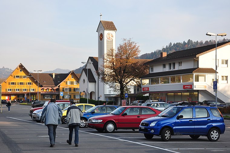
Photo: Roland zh, CC BY-SA 3.0.
Bauma is a municipality in the district of Pfäffikon in the canton of Zurich in Switzerland.

Ghöch Pass
Hamlet
Ghöch Pass is a mountain pass in the canton of Zürich in Switzerland. Ghöch Pass is situated 2½ km southeast of Ober Wolfsberg.
Ober Wolfsberg
- Type: Sign
- Categories: information and tourism
- Location: Bauma, Pfäffikon District, Canton of Zurich, Switzerland, Central Europe, Europe
- View on OpenStreetMap
Latitude
47.3537° or 47° 21′ 13″ northLongitude
8.88609° or 8° 53′ 10″ eastElevation
876 metres (2,874 feet)Operator
Zürcher WanderwegeOpen location code
8FVC9V3P+FCOpenStreetMap ID
node 7099919253OpenStreetMap feature
tourism=information
This page is based on OpenStreetMap, Wikidata, and Wikimedia Commons.
We’d love your help improving our open data sources. Thank you for contributing.
Satellite Map
Discover Ober Wolfsberg from above in high-definition satellite imagery.
Notable Places Nearby
Highlights include Burgstelle Oberer Wolfsberg and Tännler.
Nearby Places
Explore places such as Dunkelwies and Oberwolfsberg.
Switzerland: Must-Visit Destinations
Delve into Zurich, Berne, Geneva, and Basel.
Curious Places to Discover
Uncover intriguing places from every corner of the globe.
About Mapcarta. Data © OpenStreetMap contributors and available under the Open Database License". Text is available under the CC BY-SA 4.0 license, except for photos, directions, and the map. Photo: Roland zh, CC BY-SA 3.0.