Zapała
Zapała is a peak in Legnava, Stará Ľubovňa District, Prešov Region and has an elevation of 639 metres. Zapała is situated nearby to the hamlet Niżny Koniec, as well as near the locality Záhumné.| Tap on a place to explore it |
Photo: Wikimedia, CC BY-SA 4.0.
Places of Interest
Highlights include Church of St. Mary in Andrzejówka and Saints Cosmas and Damian church in Milik.


Places in the Area
Nearby places include Muszyna and Malý Lipník.
Muszyna
Town

Photo: Kb, CC BY-SA 3.0.
Muszyna is a town in the Lesser Poland Voivodeship, southern Poland. Population: 4,989. It plays host to a railroad junction, located near border with Slovakia, with trains going into three directions - towards Nowy Sącz, Krynica-Zdrój and southwards, to Slovakia.
Malý Lipník
Village
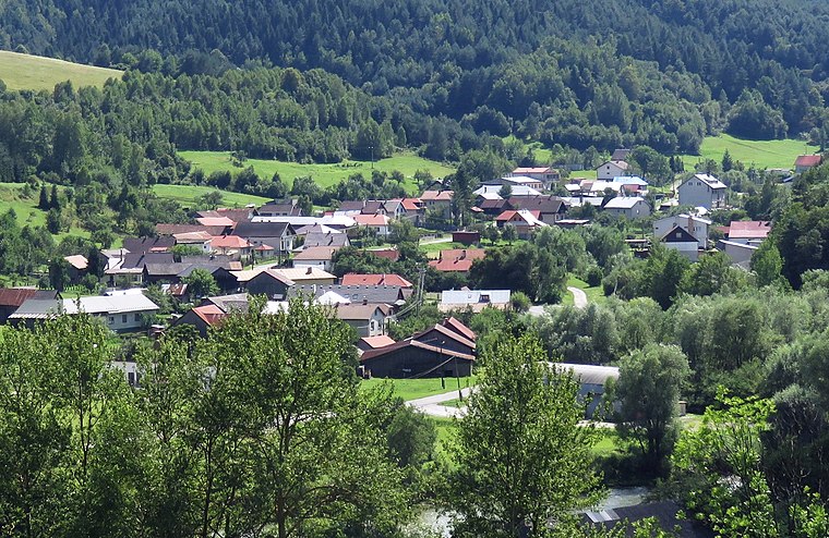
Photo: Andrzej Błaszczak, CC BY-SA 4.0.
Malý Lipník is a village and municipality in Stará Ľubovňa District in the Prešov Region of northern Slovakia.
Legnava
Village
 Legnava is a village and municipality in the Stará Ľubovňa District, Prešov Region in northern Slovakia. It has 146 inhabitants.
Zapała
- Type: Peak with an elevation of 639 metres
- Category: landform
- Location: Legnava, Stará Ľubovňa District, Prešov Region, Slovakia, Central Europe, Europe
- View on OpenStreetMap
Latitude
49.3468° or 49° 20′ 49″ northLongitude
20.8401° or 20° 50′ 25″ eastElevation
639 metres (2,096 feet)Open location code
8GX28RWR+P3OpenStreetMap ID
node 7177090319OpenStreetMap feature
natural=peakWikidata ID
Q9386943
This page is based on OpenStreetMap, Wikidata, and Wikimedia Commons.
We’d love your help improving our open data sources. Thank you for contributing.
Satellite Map
Discover Zapała from above in high-definition satellite imagery.
In Other Languages
“Zapała” goes by many names.
- Polish: “Zapała”
Places with the Same Name
Discover other places named “Zapała”.
Localities in the Area
Explore places such as Niżny Koniec and Záhumné.
Notable Places Nearby
Highlights include Pietrusina and Milik train stop.
Slovakia: Must-Visit Destinations
Delve into Bratislava, Košice, Banská Bystrica, and Prešov.
Curious Peaks to Discover
Uncover intriguing peaks from every corner of the globe.
About Mapcarta. Data © OpenStreetMap contributors and available under the Open Database License". Text is available under the CC BY-SA 4.0 license, except for photos, directions, and the map. Photo: Wikimedia, CC BY-SA 4.0.