Trafostation für Tiere
Trafostation für Tiere is in Suhl, Thuringia. Trafostation für Tiere is situated nearby to the town hall Neues Rathaus, as well as near the spring Ottilienquelle Suhl.| Tap on a place to explore it |
Places of Interest Nearby
Highlights include Rotes Rathaus and Waffenschmied.
Rotes Rathaus
Town hall
 Rotes Rathaus is a town hall, which is situated 370 metres southwest of Trafostation für Tiere.
Waffenschmied
Fountain

Photo: Strubbl, CC BY-SA 4.0.
Waffenschmied is a fountain, which is situated 330 metres west of Trafostation für Tiere.
St. Marien (Suhl)
Church

Photo: Jonathan Haas, CC BY-SA 3.0.
St. Marien (Suhl) is a church, which is situated 360 metres southwest of Trafostation für Tiere.
Places in the Area
Nearby places include Lauter and Heinrichs.

Heinrichs
Suburb
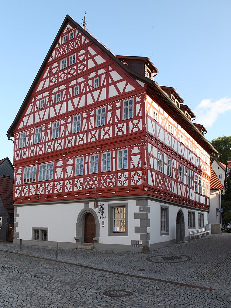
Photo: Störfix, CC BY-SA 3.0 de.
Heinrichs is a suburb, which is situated 3 km southwest of Trafostation für Tiere.
Goldlauter
Village

Photo: Hejkal, CC BY-SA 3.0 de.
Goldlauter is a village, which is situated 4 km northeast of Trafostation für Tiere.
Trafostation für Tiere
- Type: Sign
- Categories: information and tourism
- Location: Suhl, Thuringia, Germany, Central Europe, Europe
- View on OpenStreetMap
Latitude
50.61185° or 50° 36′ 43″ northLongitude
10.69767° or 10° 41′ 52″ eastOpen location code
9F2GJM6X+P3OpenStreetMap ID
node 7206322915OpenStreetMap feature
tourism=information
This page is based on OpenStreetMap, Wikidata, and Wikimedia Commons.
We’d love your help improving our open data sources. Thank you for contributing.
Satellite Map
Discover Trafostation für Tiere from above in high-definition satellite imagery.
Notable Places Nearby
Highlights include Neues Rathaus and Ottilienquelle Suhl.
Nearby Places
Explore places such as Trafostation für Tiere and Friseur Hair & Care Claudia Henkel.
Curious Places to Discover
Uncover intriguing places from every corner of the globe.
About Mapcarta. Data © OpenStreetMap contributors and available under the Open Database License". Text is available under the CC BY-SA 4.0 license, except for photos, directions, and the map. Photo: A.Savin, FAL.