Schwyzerhöhe
Schwyzerhöhe is a bus stop in Morschach, Schwyz District, Canton of Schwyz. Schwyzerhöhe is situated nearby to the motorhome stopover Rüti, as well as near Druidenstein.| Tap on a place to explore it |
Places of Interest Nearby
Highlights include Brunnen railway station and Chapel St. Wendelin.
Brunnen railway station
Railway station

Photo: Wikimedia, CC BY-SA 4.0.
Brunnen railway station is a railway station serving the resort of Brunnen, in the Swiss canton of Schwyz and municipality of Ingenbohl. It is located on the Gotthard railway, and is served by long-distance trains as well as by commuter and suburban trains. Brunnen railway station is situated 2 km northwest of Schwyzerhöhe.
Chapel St. Wendelin
Church

Photo: Waldteufel78, CC BY-SA 3.0.
Chapel St. Wendelin is a church, which is situated 1 km north of Schwyzerhöhe.
St. Gallus Parish Church
Church

Photo: Roland Zumbuehl, CC BY 3.0.
St. Gallus Parish Church is situated 1¼ km southwest of Schwyzerhöhe.
Places in the Area
Nearby places include Unterschönenbuch and Morschach.

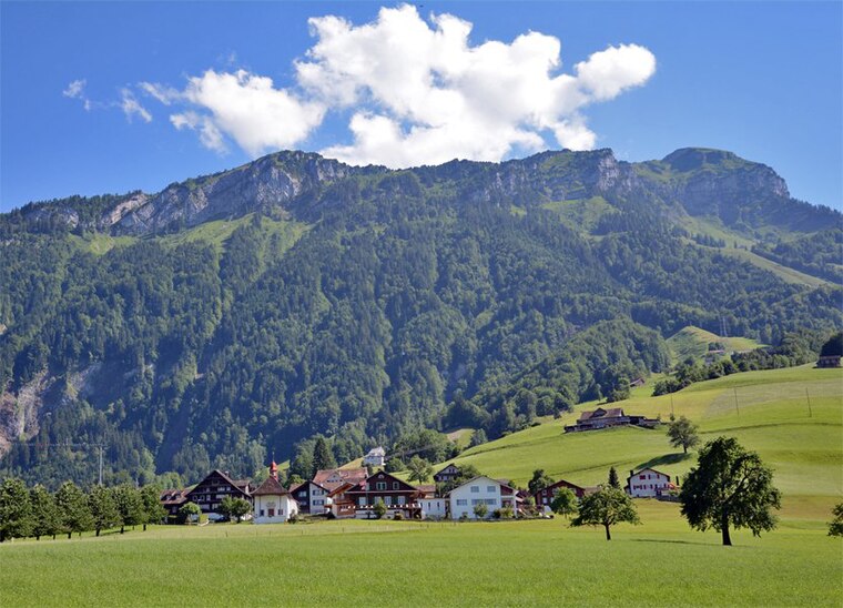
Morschach
Village

Photo: Uwelino, CC BY-SA 4.0.
Morschach is a municipality in Schwyz District in the canton of Schwyz in Switzerland. It was a world-famous resort from 1869 up to the Great Depression.
Schwyzerhöhe
- Type: Bus stop
- Categories: transport stop and transportation
- Location: Morschach, Schwyz District, Canton of Schwyz, Switzerland, Central Europe, Europe
- View on OpenStreetMap
Latitude
46.98931° or 46° 59′ 22″ northLongitude
8.63018° or 8° 37′ 49″ eastElevation
740 metres (2,428 feet)Operator
AAGSNetwork
Tarifverbund SchwyzOpen location code
8FRCXJQJ+P3OpenStreetMap ID
node 7218643504OpenStreetMap feature
highway=bus_stopOpenStreetMap feature
public_transport=stop_position
This page is based on OpenStreetMap, Wikidata, and Wikimedia Commons.
We’d love your help improving our open data sources. Thank you for contributing.
Satellite Map
Discover Schwyzerhöhe from above in high-definition satellite imagery.
Places with the Same Name
Discover other places named “Schwyzerhöhe”.
Notable Places Nearby
Highlights include Rüti and Druidenstein.
Nearby Places
Explore places such as Schwyzerhöchi and Morschach, Schwyzerhöhe.
Switzerland: Must-Visit Destinations
Delve into Zurich, Berne, Geneva, and Basel.
Curious Bus Stops to Discover
Uncover intriguing bus stops from every corner of the globe.
About Mapcarta. Data © OpenStreetMap contributors and available under the Open Database License". Text is available under the CC BY-SA 4.0 license, except for photos, directions, and the map. Photo: Simonizer, CC BY-SA 2.0 de.