1873 Pump house for La Cité
1873 Pump house for La Cité is in Carcassonne, Aude, Occitanie. 1873 Pump house for La Cité is situated nearby to Footbridge over stream, as well as near Pont Vieux.| Tap on a place to explore it |
Places of Interest Nearby
Highlights include Notre-Dame-de-Santé and Église Saint-Gimer de Carcassonne.
Notre-Dame-de-Santé
Church

Photo: ManuRoquette, CC BY-SA 4.0.
Notre-Dame-de-Santé is a church, which is situated 160 metres northwest of 1873 Pump house for La Cité.
Église Saint-Gimer de Carcassonne
Church

Photo: Jordiferrer, CC BY-SA 4.0.
Église Saint-Gimer de Carcassonne is a church, which is situated 310 metres southeast of 1873 Pump house for La Cité.
Basilica of Saints Nazarius and Celsus
Church

Photo: Wikimedia, CC BY-SA 4.0.
The Basilica of Saints Nazarius and Celsus is a Roman Catholic minor basilica located in the citadel of Carcassonne, France. It is a national monument, and is in the Gothic-Romanesque architectural tradition. Basilica of Saints Nazarius and Celsus is situated 530 metres southeast of 1873 Pump house for La Cité.
Places in the Area
Nearby places include Cité de Carcassonne and Berriac.
Cité de Carcassonne
Neighborhood

Photo: Jondu11, CC BY-SA 4.0.
The Cité de Carcassonne is a medieval citadel located in the French city of Carcassonne, in the Aude department, Occitania region. It is situated on a hill on the right bank of the river Aude, in the south-eastern part of the city proper.
Berriac
Village
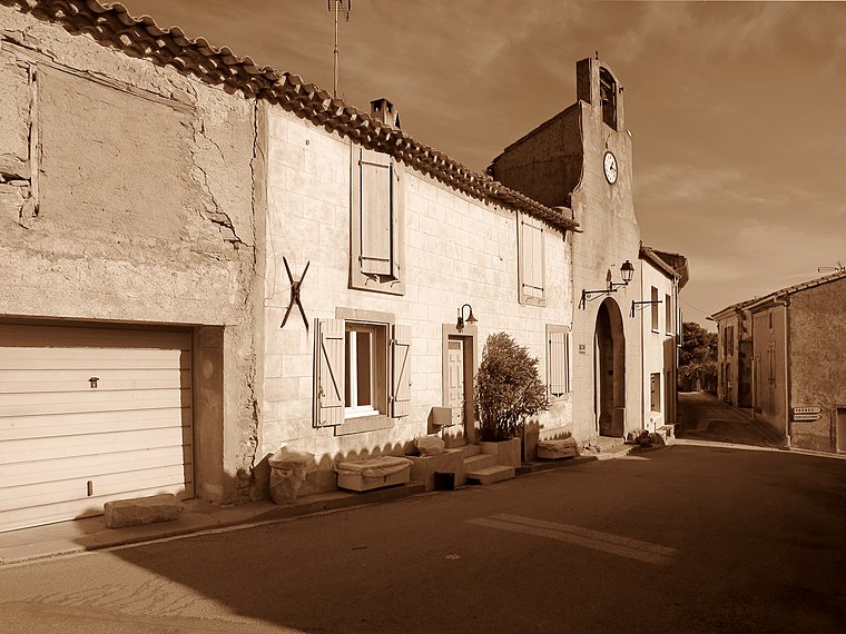
Photo: Olybrius, CC BY-SA 4.0.
Berriac is a commune in the Aude department in southern France. Berriac is situated 4½ km east of 1873 Pump house for La Cité.
Conques-sur-Orbiel
Village

Photo: Meria z Geoian, CC BY-SA 3.0.
Conques-sur-Orbiel is a commune in the Aude department in southern France. Conques-sur-Orbiel is situated 8 km northeast of 1873 Pump house for La Cité.
1873 Pump house for La Cité
- Type: Tourist attraction
- Category: tourism
- Location: Carcassonne, Arrondissement of Carcassonne, Aude, Occitanie, France, Europe
- View on OpenStreetMap
Latitude
43.20914° or 43° 12′ 33″ northLongitude
2.35921° or 2° 21′ 33″ eastOpen location code
8FM46955+MMOpenStreetMap ID
node 7230478085OpenStreetMap feature
tourism=attraction
This page is based on OpenStreetMap, Wikidata, and Wikimedia Commons.
We’d love your help improving our open data sources. Thank you for contributing.
Satellite Map
Discover 1873 Pump house for La Cité from above in high-definition satellite imagery.
In Other Languages
“1873 Pump house for La Cité” goes by many names.
- French: “Moteurs des Fontaines de la Cité”
Notable Places Nearby
Highlights include Footbridge over stream and Pont Vieux.
Nearby Places
Explore places such as les Moulins du Roi and Ô Brice B.
Aude: Must-Visit Destinations
Delve into Narbonne, Limoux, Leucate, and Rennes-le-Château.
Curious Places to Discover
Uncover intriguing places from every corner of the globe.
About Mapcarta. Data © OpenStreetMap contributors and available under the Open Database License". Text is available under the CC BY-SA 4.0 license, except for photos, directions, and the map. Photo: Danapit, CC BY-SA 3.0.