El Rincón de Montxo
El Rincón de Montxo is a pub in Barakaldo, Biscay, Basque Country. El Rincón de Montxo is situated nearby to the health club Gimnasio Judo Club, as well as near the police station Policia Nacional.| Tap on a place to explore it |
Places of Interest Nearby
Highlights include Estadio de Lasesarre and Desierto-Baracaldo.
Estadio de Lasesarre
Stadium
 Lasesarre is a stadium in Barakaldo, Spain. It is currently used for football matches and is the home stadium of Barakaldo CF. The stadium holds 7,960 spectators. Estadio de Lasesarre is situated 370 metres northeast of El Rincón de Montxo.
Desierto-Baracaldo
Railway station
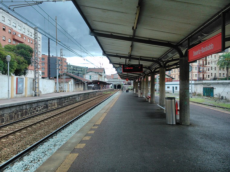
Photo: Laukatu, CC BY-SA 3.0.
Desierto-Baracaldo is a railway station, which is situated 350 metres east of El Rincón de Montxo.
Barakaldo town hall
Town hall

Photo: Zarateman, CC BY-SA 3.0.
Barakaldo town hall is situated 370 metres southeast of El Rincón de Montxo.
Places in the Area
Nearby places include Latsagazarra / Lasesarre and Santa Teresa-Beurko.
Latsagazarra / Lasesarre
Neighborhood

Photo: Vanbasten 23, CC BY-SA 3.0.
Latsagazarra / Lasesarre is a neighborhood.
Santa Teresa-Beurko
Neighborhood

Photo: Vanbasten 23, CC BY-SA 3.0.
Santa Teresa-Beurko is a neighborhood.

El Rincón de Montxo
- Type: Pub
- Location: Barakaldo, Biscay, Basque Country, Northern Spain, Spain, Iberia, Europe
- View on OpenStreetMap
Latitude
43.30007° or 43° 18′ 0″ northLongitude
-2.98899° or 2° 59′ 20″ westOpen location code
8CMV8226+2COpenStreetMap ID
node 7245782785OpenStreetMap feature
amenity=pub
This page is based on OpenStreetMap, Wikidata, and Wikimedia Commons.
We’d love your help improving our open data sources. Thank you for contributing.
Satellite Map
Discover El Rincón de Montxo from above in high-definition satellite imagery.
Notable Places Nearby
Highlights include Gimnasio Judo Club and Policia Nacional.
Nearby Places
Explore places such as María Berriatua and Talleres Cegon.
Basque Country: Must-Visit Destinations
Delve into Bilbao, San Sebastián, Vitoria-Gasteiz, and Guernica.
Curious Pubs to Discover
Uncover intriguing pubs from every corner of the globe.
About Mapcarta. Data © OpenStreetMap contributors and available under the Open Database License". Text is available under the CC BY-SA 4.0 license, except for photos, directions, and the map. Photo: Ander Abadia Zallo, CC BY 4.0.