Fleischerei Kahlert
Fleischerei Kahlert is a butcher in Eisenach, Wartburgkreis, Thuringia which is located on Frankfurter Straße. Fleischerei Kahlert is situated nearby to the school Elisabethschule, as well as near the railway station Westbahnhof.| Tap on a place to explore it |
Places of Interest Nearby
Highlights include Wartburg Castle and Eisenach West station.
Wartburg Castle
 The Wartburg is a castle originally built in the Middle Ages. It is situated on a precipice of 410 metres to the southwest of and overlooking the town of Eisenach, in the state of Thuringia, Germany. Wartburg Castle is situated 1¼ km south of Fleischerei Kahlert.
Eisenach West station
Railway stop

Photo: Metilsteiner, CC BY-SA 3.0.
Eisenach West station is a halt on the Halle–Bebra railway in the town of Eisenach in the German state of Thuringia. Eisenach West station is situated 200 metres northeast of Fleischerei Kahlert.
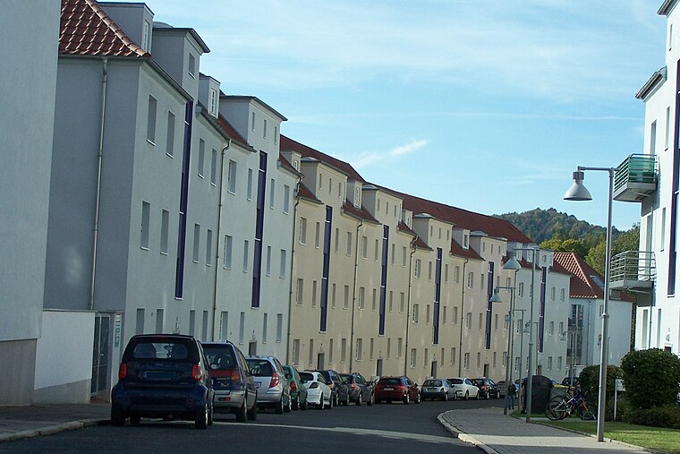
Elisabethschule
School

Photo: Metilsteiner, CC BY 3.0.
Elisabethschule is a school, which is situated 160 metres east of Fleischerei Kahlert.
Places in the Area
Nearby places include BMW-Siedlung and Kulturfabrik Alte Mälzerei.
Kulturfabrik Alte Mälzerei
Locality

Photo: Metilsteiner, CC BY 3.0.
Kulturfabrik Alte Mälzerei is a locality.
Stregda
Village

Photo: Metilsteiner, CC BY-SA 3.0.
Stregda is a village, which is situated 3 km north of Fleischerei Kahlert.
Fleischerei Kahlert
- Type: Butcher
- Address: Frankfurter Straße 11, Eisenach, 99817
- Categories: shop and food
- Location: Eisenach, Wartburgkreis, Thuringia, Germany, Central Europe, Europe
- View on OpenStreetMap
Latitude
50.97729° or 50° 58′ 38″ northLongitude
10.30403° or 10° 18′ 15″ eastOperator
Bernd KahlertOpen location code
9F2GX8G3+WJOpenStreetMap ID
node 7294644873OpenStreetMap feature
shop=butcher
This page is based on OpenStreetMap, Wikidata, and Wikimedia Commons.
We’d love your help improving our open data sources. Thank you for contributing.
Satellite Map
Discover Fleischerei Kahlert from above in high-definition satellite imagery.
Notable Places Nearby
Highlights include Westbahnhof and Grünanlage.
Nearby Places
Explore places such as Frankfurter Straße and Frankfurter Straße.
Curious Butchers to Discover
Uncover intriguing butchers from every corner of the globe.
About Mapcarta. Data © OpenStreetMap contributors and available under the Open Database License". Text is available under the CC BY-SA 4.0 license, except for photos, directions, and the map. Photo: Misburg3014, CC BY-SA 3.0.