Iglesia Evangélica Pentecostal
Iglesia Evangélica Pentecostal is a church in Nacimiento, Biobío Province, Biobío. Iglesia Evangélica Pentecostal is situated nearby to the church Misión Evangélica Cristiana Apostólica, as well as near the park Parque Alessandri.| Tap on a place to explore it |
Places in the Area
Nearby places include Nacimiento and Coihue.
Nacimiento
Town

Photo: Xalo sp, CC BY-SA 4.0.
Nacimiento is a Chilean city situated in the Bío Bío Province, Bío Bío Region, 550 km south of Santiago, and 104 km from the closest major city in the region, Concepción.
Coihue
Village
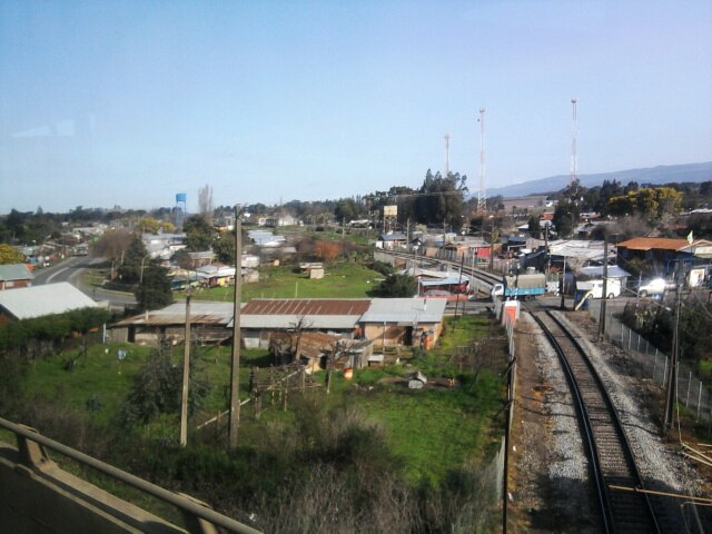
Photo: Cyborgsoto, CC BY-SA 4.0.
Coihue is a village, which is situated 9 km southeast of Iglesia Evangélica Pentecostal.
Iglesia Evangélica Pentecostal
- Type: Church
- Denomination: Pentecostal
- Categories: place of worship and religion
- Location: Nacimiento, Biobío Province, Biobío, Southern Chile, Chile, South America
- View on OpenStreetMap
Latitude
-37.50443° or 37° 30′ 16″ southLongitude
-72.67755° or 72° 40′ 39″ westOpen location code
47J9F8WC+6XOpenStreetMap ID
node 7304654956OpenStreetMap feature
amenity=place_of_worshipOpenStreetMap attribute
denomination=pentecostal
This page is based on OpenStreetMap, Wikidata, and Wikimedia Commons.
We’d love your help improving our open data sources. Thank you for contributing.
Satellite Map
Discover Iglesia Evangélica Pentecostal from above in high-definition satellite imagery.
Places with the Same Name
Discover other places named “Iglesia Evangélica Pentecostal”.
Notable Places Nearby
Highlights include Misión Evangélica Cristiana Apostólica and Parque Alessandri.
Nearby Places
Explore places such as Comida Al Paso Caprichitos and Ferretería Aqueveque.
Biobío: Must-Visit Destinations
Delve into Concepción, Monte Águila, Chillán, and Isla Mocha.
Curious Churches to Discover
Uncover intriguing churches from every corner of the globe.
About Mapcarta. Data © OpenStreetMap contributors and available under the Open Database License". Text is available under the CC BY-SA 4.0 license, except for photos, directions, and the map. Photo: Wikimedia, CC0.