Gregory’s Tuxedo
Gregory’s Tuxedo is a clothing store in City of Kettering, Montgomery, Ohio. Gregory’s Tuxedo is situated nearby to Dayton Metro Library Wilmington-Stroop Branch, as well as near United States Post Office.| Tap on a place to explore it |
Places of Interest Nearby
Highlights include Fairmont High School.
Fairmont High School
School

Photo: TastyPoutine, CC BY-SA 3.0.
Kettering Fairmont High School is located in Kettering, Ohio, United States. It is home to approximately 2,500 students, making it the 6th largest high school in Ohio. Fairmont High School is situated 2 miles west of Gregory’s Tuxedo.
Places in the Area
Nearby places include Kettering and Oakwood.
Kettering
Town

Photo: Coastermom, CC BY 3.0.
Kettering is a city in Montgomery County, Ohio, United States. It is an inner suburb of Dayton. The city had a population of 57,862 at the 2020 census, making it the most populous suburb in the Dayton metropolitan area. Kettering is situated 2 miles west of Gregory’s Tuxedo.
Oakwood
Village
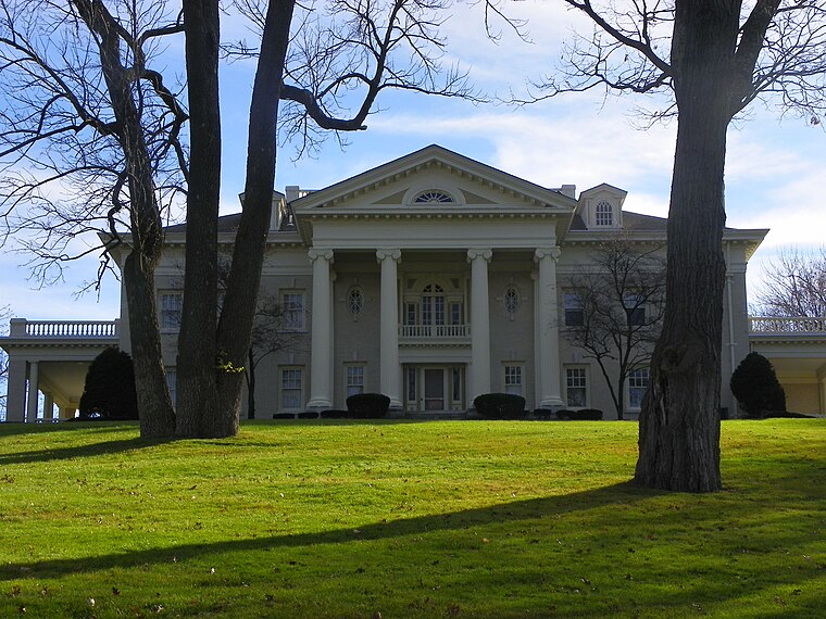
Photo: Zeist85, Public domain.
Oakwood is a city in Montgomery County, Ohio, United States. The population was 9,572 at the 2020 census. A suburb of Dayton, Oakwood is part of the Dayton metropolitan area. Oakwood is situated 3½ miles northwest of Gregory’s Tuxedo.
Beavercreek

Photo: neighborhoods, CC BY-SA 2.0.
Beavercreek is the biggest city in Greene County Ohio, and a large suburb of Dayton. It is home to the National Museum of the U.S. Air Force, and to the Wright-Patterson Air Force Base.
Gregory’s Tuxedo
- Type: Clothing store
- Category: shop
- Location: City of Kettering, Montgomery, Ohio, Midwest, United States, North America
- View on OpenStreetMap
Latitude
39.68893° or 39° 41′ 20″ northLongitude
-84.13333° or 84° 8′ westOpen location code
86FQMVQ8+HMOpenStreetMap ID
node 7316003617OpenStreetMap feature
shop=clothes
This page is based on OpenStreetMap, Wikidata, and Wikimedia Commons.
We’d love your help improving our open data sources. Thank you for contributing.
Satellite Map
Discover Gregory’s Tuxedo from above in high-definition satellite imagery.
Notable Places Nearby
Highlights include Dayton Metro Library Wilmington-Stroop Branch and United States Post Office.
Nearby Places
Explore places such as Subby’s and Get Active.
Ohio: Must-Visit Destinations
Delve into Columbus, Cincinnati, Cleveland, and Bowling Green.
Curious Clothing Stores to Discover
Uncover intriguing clothing stores from every corner of the globe.
About Mapcarta. Data © OpenStreetMap contributors and available under the Open Database License". Text is available under the CC BY-SA 4.0 license, except for photos, directions, and the map. Photo: Wikimedia, CC0.