Posta de Salud Rural Mesamávida
Posta de Salud Rural Mesamávida is a doctor’s office in Biobío, Southern Chile. Posta de Salud Rural Mesamávida is situated nearby to the peak Cerro Mesamávida, as well as near the town Negrete.| Tap on a place to explore it |
Places in the Area
Nearby places include Negrete and Coihue.
Negrete
Town

Photo: Vsaezh, CC BY-SA 4.0.
Negrete is a Chilean town and commune in Bío Bío Province, Bío Bío Region. It is bordered by the commune of Los Ángeles to the north, Renaico to the south, Mulchén to the east and Nacimiento to the west. Negrete is situated 5 km southwest of Posta de Salud Rural Mesamávida.
Coihue
Village
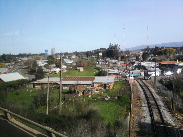
Photo: Cyborgsoto, CC BY-SA 4.0.
Coihue is a village, which is situated 9 km west of Posta de Salud Rural Mesamávida.
Posta de Salud Rural Mesamávida
- Type: Doctor’s office
- Category: health care
- Location: Biobío, Southern Chile, Chile, South America
- View on OpenStreetMap
Latitude
-37.54715° or 37° 32′ 50″ southLongitude
-72.49237° or 72° 29′ 33″ westOpen location code
47J9FG35+43OpenStreetMap ID
node 7317192434OpenStreetMap feature
amenity=doctorsOpenStreetMap feature
healthcare=doctor
This page is based on OpenStreetMap, Wikidata, and Wikimedia Commons.
We’d love your help improving our open data sources. Thank you for contributing.
Satellite Map
Discover Posta de Salud Rural Mesamávida from above in high-definition satellite imagery.
Places with the Same Name
Discover other places named “Posta de Salud Rural Mesamávida”.
Notable Places Nearby
Highlights include Cerro Mesamávida and Centro Deportivo Vientos del Biobío.
Nearby Places
Explore places such as Sistema APR Mesamávida and Subestación Buenos Aires.
Biobío: Must-Visit Destinations
Delve into Concepción, Monte Águila, Chillán, and Isla Mocha.
Curious Doctor’s Offices to Discover
Uncover intriguing doctor’s offices from every corner of the globe.
About Mapcarta. Data © OpenStreetMap contributors and available under the Open Database License". Text is available under the CC BY-SA 4.0 license, except for photos, directions, and the map. Photo: Wikimedia, CC0.