Ortsfeuerwehr Eggestedt
Ortsfeuerwehr Eggestedt is a fire station in Schwanewede, Osterholz, Lower Saxony which is located on Kapellenstraße. Ortsfeuerwehr Eggestedt is situated nearby to the church Eggestedter Kirche, as well as near the cemetery Eggestedter Friedhof.| Tap on a place to explore it |
Places of Interest Nearby
Highlights include St.-Johannes-Kirche and Hammersbecker Wiesen.
St.-Johannes-Kirche
Church

Photo: Exprimidor, CC BY-SA 4.0.
St.-Johannes-Kirche is a church, which is situated 2 km west of Ortsfeuerwehr Eggestedt.
Hammersbecker Wiesen
Nature reserve

Photo: Muschelschubser, CC BY-SA 3.0.
Hammersbecker Wiesen is a nature reserve, which is situated 4 km south of Ortsfeuerwehr Eggestedt.
Herrenhaus Hohehorst
House
 Herrenhaus Hohehorst is a house, which is situated 2 km south of Ortsfeuerwehr Eggestedt.
Places in the Area
Nearby places include Schwanewede and Heilshorn.
Schwanewede
Town

Photo: ClausNe, CC BY-SA 4.0.
Schwanewede is a municipality in the district of Osterholz, in Lower Saxony, Germany. It is situated approximately 14 km west of Osterholz-Scharmbeck, and 22 km northwest of Bremen.
Heilshorn
Village

Photo: Raboe001, CC BY-SA 3.0 de.
Heilshorn is a village, which is situated 6 km east of Ortsfeuerwehr Eggestedt.
Blumenthal
Suburb
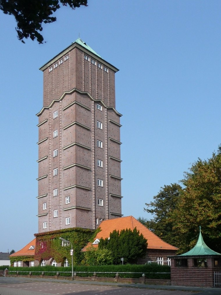
Photo: Joern M, CC BY-SA 3.0.
Blumenthal is a suburb, which is situated 7 km southwest of Ortsfeuerwehr Eggestedt.
Ortsfeuerwehr Eggestedt
- Type: Fire station
- Address: Kapellenstraße 1, Schwanewede, 28790
- Location: Schwanewede, Osterholz, Lower Saxony, Germany, Central Europe, Europe
- View on OpenStreetMap
Latitude
53.23056° or 53° 13′ 50″ northLongitude
8.62747° or 8° 37′ 39″ eastOpen location code
9F5C6JJG+6XOpenStreetMap ID
node 7319551372OpenStreetMap feature
amenity=fire_station
This page is based on OpenStreetMap, Wikidata, and Wikimedia Commons.
We’d love your help improving our open data sources. Thank you for contributing.
Satellite Map
Discover Ortsfeuerwehr Eggestedt from above in high-definition satellite imagery.
Notable Places Nearby
Highlights include Eggestedter Kirche and Eggestedter Friedhof.
Nearby Places
Explore places such as Feuerwehrhaus and Betonstraße.
Lower Saxony: Must-Visit Destinations
Delve into Hanover, Göttingen, Brunswick, and Wolfsburg.
Curious Fire Stations to Discover
Uncover intriguing fire stations from every corner of the globe.
About Mapcarta. Data © OpenStreetMap contributors and available under the Open Database License". Text is available under the CC BY-SA 4.0 license, except for photos, directions, and the map. Photo: Danapit, CC BY-SA 3.0.