Schachtrupps Mühle
Schachtrupps Mühle is a dwelling in Lower Saxony, Germany. Schachtrupps Mühle is situated nearby to the meadow Kuhlkamp, as well as near the forest Auf der Gruft.| Tap on a place to explore it |
Places of Interest Nearby
Highlights include Sudmerberg and Oker station.

Oker station
Railway station

Photo: Nin-TD, CC BY-SA 4.0.
Oker station is a railway station, which is situated 2 km southwest of Schachtrupps Mühle.
Martin-Luther-Kirche
Church

Photo: TeWeBs, CC BY-SA 3.0.
Martin-Luther-Kirche is a church, which is situated 2½ km south of Schachtrupps Mühle.
Places in the Area
Nearby places include Probsteiburg and Sudmerberg.

Sudmerberg
Suburb
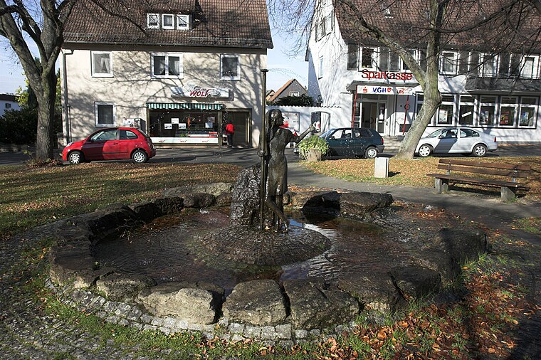
Photo: Kassandro, CC BY-SA 3.0.
Sudmerberg is a quarter of Goslar in Lower Saxony, Germany, named after a prominent 354 m -metre-high hill to the east.
Oker
Village

Photo: C.Mezzo-1, Public domain.
Oker is a borough of Goslar in Lower Saxony, Germany. Since 1952 a mining town in its own right within Wolfenbüttel district, it was incorporated into the Goslar municipality on 1 July 1972.
Schachtrupps Mühle
- Type: Dwelling
- Categories: locality, residential building, and building
- Location: Lower Saxony, Germany, Central Europe, Europe
- View on OpenStreetMap
Latitude
51.92164° or 51° 55′ 18″ northLongitude
10.48877° or 10° 29′ 20″ eastOpen location code
9F3GWFCQ+MGOpenStreetMap ID
node 7323201432OpenStreetMap feature
place=isolated_dwelling
This page is based on OpenStreetMap, Wikidata, and Wikimedia Commons.
We’d love your help improving our open data sources. Thank you for contributing.
Satellite Map
Discover Schachtrupps Mühle from above in high-definition satellite imagery.
Notable Places Nearby
Highlights include Kuhlkamp and Auf der Gruft.
Nearby Places
Explore places such as Oker, Am Müllerkamp and Oker, Am Müllerkamp.
Lower Saxony: Must-Visit Destinations
Delve into Hanover, Göttingen, Brunswick, and Wolfsburg.
Curious Dwellings to Discover
Uncover intriguing dwellings from every corner of the globe.
About Mapcarta. Data © OpenStreetMap contributors and available under the Open Database License". Text is available under the CC BY-SA 4.0 license, except for photos, directions, and the map. Photo: Danapit, CC BY-SA 3.0.