NG Kerk - Gamka Oos
NG Kerk - Gamka Oos is a church in Beaufort West Local Municipality, Central Karoo District Municipality, Western Cape. NG Kerk - Gamka Oos is situated nearby to the shopping center Beaufort Mall, as well as near The New Church of Southern Africa, Beaufort West.| Tap on a place to explore it |
Places of Interest Nearby
Highlights include Beaufort West station.
Beaufort West station
Railway station

Photo: Andre Kritzinger, CC BY-SA 3.0.
Beaufort West station is a railway station, which is situated 1¼ km northwest of NG Kerk - Gamka Oos.
Places in the Area
Nearby places include Beaufort West.
Beaufort West
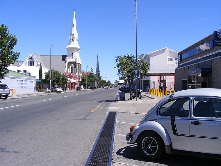
Photo: Wikimedia, Public domain.
Beaufort West is a town in the Western Cape province in South Africa. Beaufort West sits next door to Karoo National Park. It is the north-easternmost town in Great Karoo.
NG Kerk - Gamka Oos
- Type: Church
- Categories: place of worship and religion
- Location: Beaufort West Local Municipality, Central Karoo District Municipality, Western Cape, South Africa, Southern Africa, Africa
- View on OpenStreetMap
Latitude
-32.35867° or 32° 21′ 31″ southLongitude
22.58635° or 22° 35′ 11″ eastOpen location code
4GV4JHRP+GGOpenStreetMap ID
node 7341728861OpenStreetMap feature
amenity=place_of_worship
This page is based on OpenStreetMap, Wikidata, and Wikimedia Commons.
We’d love your help improving our open data sources. Thank you for contributing.
Satellite Map
Discover NG Kerk - Gamka Oos from above in high-definition satellite imagery.
Notable Places Nearby
Highlights include Beaufort Mall and The New Church of Southern Africa, Beaufort West.
Nearby Places
Explore places such as Pick n Pay and Clicks.
Western Cape: Must-Visit Destinations
Delve into Cape Town, Robben Island, Stellenbosch, and Paarl.
Curious Churches to Discover
Uncover intriguing churches from every corner of the globe.
About Mapcarta. Data © OpenStreetMap contributors and available under the Open Database License". Text is available under the CC BY-SA 4.0 license, except for photos, directions, and the map. Photo: Bernard DUPONT, CC BY-SA 2.0.