Wasserentnahme Steinbruch
Wasserentnahme Steinbruch is a reservoir in Rosenbach, Görlitz, Saxony. Wasserentnahme Steinbruch is situated nearby to the village Herwigsdorf, as well as near the hamlet Galgenberg.| Tap on a place to explore it |
Places of Interest
Highlights include King Frederick Augustus Tower and Löbauer Berg.
King Frederick Augustus Tower

Photo: Hedwig Storch, CC BY-SA 3.0.
The King Frederick Augustus Tower is the only preserved observation tower of cast iron in Europe and perhaps the oldest tower built of iron. It is located on the Löbauer Berg at Löbau in Saxony, offering a panoramic view of the Zittau Hills and the Upper Lusatia region.
Löbauer Berg
Peak

Photo: Trendy64, CC BY-SA 3.0.
The Löbauer Berg is an extinct volcano and, with a height of 447.9 m above sea level, the Hausberg or local hill of the eponymous town of Löbau in the county of Görlitz in southeastern Saxony.
Schafberg
Peak
The Schafberg is a hill, 450.5 m above NHN, east of Löbau in the Saxon county of Görlitz. Together with the neighbouring Löbauer Berg it forms a single hill unit.
Places in the Area
Nearby places include Herrnhut and Löbau.
Herrnhut
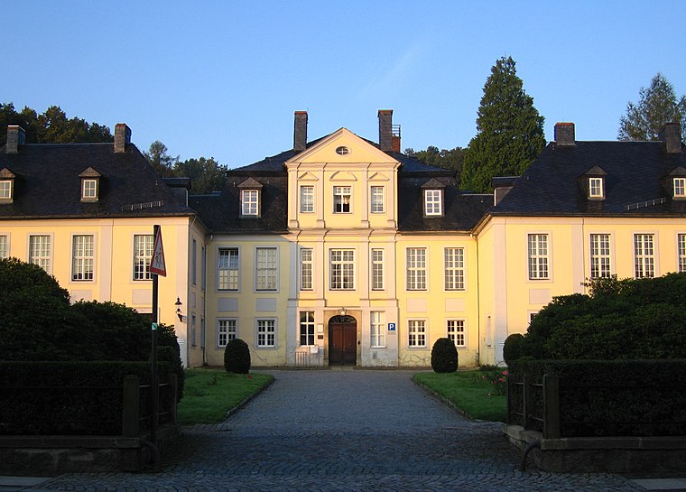
Photo: Rixxo.no.ka.oi, CC BY 3.0.
Herrnhut is a small town in the Upper Lusatia region of Saxony, in Germany. In the 18th century, Herrnhut gave birth to the Moravian spiritual renewal and missions movement under Count Nicolaus Ludwig Von Zinzendorf.
Löbau
Town

Photo: Rabanus Flavus, CC BY-SA 3.0.
Löbau is a city in the east of Saxony, Germany, in the traditional region of Upper Lusatia. It is situated between the slopes of the Löbauer Berg and the fertile hilly area of the Upper Lusatian Mountains.
Berthelsdorf
Village

Photo: Nise81, CC BY-SA 3.0.
Berthelsdorf is a former municipality in the district of Görlitz, in the southeastern part of Saxony, Germany. On 1 January 2013, it was incorporated into the town of Herrnhut.
Wasserentnahme Steinbruch
- Type: Reservoir
- Category: body of water
- Location: Rosenbach, Görlitz, Saxony, Germany, Central Europe, Europe
- View on OpenStreetMap
Latitude
51.062° or 51° 3′ 43″ northLongitude
14.7253° or 14° 43′ 31″ eastOpen location code
9F3P3P6G+R4OpenStreetMap ID
node 7350644903OpenStreetMap feature
natural=waterOpenStreetMap feature
water=reservoir
This page is based on OpenStreetMap, Wikidata, and Wikimedia Commons.
We’d love your help improving our open data sources. Thank you for contributing.
Satellite Map
Discover Wasserentnahme Steinbruch from above in high-definition satellite imagery.
Localities in the Area
Explore places such as Herwigsdorf and Galgenberg.
Notable Places Nearby
Highlights include Schürerhütte and Fischteich.
Saxony: Must-Visit Destinations
Delve into Dresden, Leipzig, Chemnitz, and Meißen.
Curious Reservoirs to Discover
Uncover intriguing reservoirs from every corner of the globe.
About Mapcarta. Data © OpenStreetMap contributors and available under the Open Database License". Text is available under the CC BY-SA 4.0 license, except for photos, directions, and the map. Photo: Taxiarchos228, FAL.