Blick auf Lonau
Blick auf Lonau is a scenic viewpoint in Herzberg am Harz, Göttingen, Lower Saxony. Blick auf Lonau is situated nearby to the church St. Michaelis, as well as near the miniature golf course Minigolfplatz.| Tap on a place to explore it |
Places of Interest Nearby
Highlights include Großer Mittelberg and Hirtenberg.
Großer Mittelberg
Peak

Photo: Kassandro, CC BY-SA 3.0.
The Großer Mittelberg is a ridge in the Harz Mountains of Germany that begins immediately northeast of Lonau in the district of Göttingen in Lower Saxony.
Franzosenkopf
Peak
The Franzosenkopf is a 562 metre high hill in the Harz Mountains of central Germany, which lies about 1.4 kilometres northeast of Lonau in the district of Göttingen in Lower Saxony.
Places in the Area
Nearby places include Lonau and Bärenwinkel.
Lonau
Village
Photo: Kassandro, CC BY-SA 3.0.
Lonau is a small village with a population of about 345 situated at an elevation of about 400m in the Harz Mountains of Northern Germany. Besides the clean air and lush forests, it is famous for the capercaillie.
Bärenwinkel
Locality
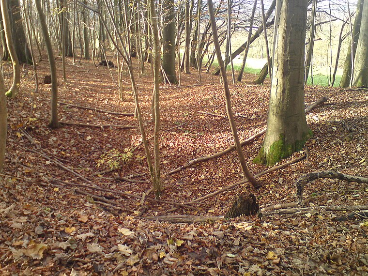
Photo: T2425b, CC BY-SA 4.0.
Bärenwinkel is a locality, which is situated 2½ km southwest of Blick auf Lonau.
Hägerfeld
Locality

Photo: T2425b, CC BY-SA 4.0.
Hägerfeld is a locality, which is situated 3 km southwest of Blick auf Lonau.
Blick auf Lonau
- Type: Scenic viewpoint
- Wheelchair access: no
- Category: tourism
- Location: Herzberg am Harz, Göttingen, Southern Lower Saxony, Lower Saxony, Germany, Central Europe, Europe
- View on OpenStreetMap
Latitude
51.68974° or 51° 41′ 23″ northLongitude
10.36197° or 10° 21′ 43″ eastOpen location code
9F3GM9Q6+VQOpenStreetMap ID
node 7359202110OpenStreetMap feature
tourism=viewpointOpenStreetMap attribute
wheelchair=no
This page is based on OpenStreetMap, Wikidata, and Wikimedia Commons.
We’d love your help improving our open data sources. Thank you for contributing.
Satellite Map
Discover Blick auf Lonau from above in high-definition satellite imagery.
Notable Places Nearby
Highlights include St. Michaelis and Minigolfplatz.
Nearby Places
Explore places such as Zur Quelle and Lonau Dorfgemeinschaftshaus.
Southern Lower Saxony: Must-Visit Destinations
Delve into Göttingen, Goslar, Hamelin, and Hann. Münden.
Curious Scenic Viewpoints to Discover
Uncover intriguing scenic viewpoints from every corner of the globe.
About Mapcarta. Data © OpenStreetMap contributors and available under the Open Database License". Text is available under the CC BY-SA 4.0 license, except for photos, directions, and the map. Photo: Wikimedia, CC BY-SA 3.0.