Sistema de Orientación
Sistema de Orientación is an office in Santander, Cantabria which is located on Calle de Marino Fernández Fontecha. Sistema de Orientación is situated nearby to the library Biblioteca UC - División Interfacultativo, as well as near the motorhome stopover Autocaravanas Parque de Las Llamas Santander.| Tap on a place to explore it |
- Email: soucan@unican.es
- Type: Educational institution
- Also known as: “SOUCAN”
- Address: Calle de Marino Fernández Fontecha 15, Santander, 39005
Places of Interest Nearby
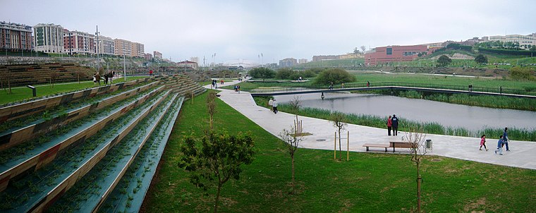
Highlights include Llamas Park and Palacio de Deportes de Santander.
Palacio de Deportes de Santander
Stadium

Photo: Josep Panadero, CC BY-SA 3.0.
Palacio de Deportes de Santander is an arena in Santander, Cantabria, Spain. It is primarily used for basketball and handball. The arena has 6,000 seats. It was opened in 2003 and designed by Julián Franco and José Manuel Palao. Palacio de Deportes de Santander is situated 800 metres northeast of Sistema de Orientación.
Fundación Hospitalarias Cantabria
Hospital

Photo: Tony Rotondas, CC BY-SA 4.0.
Fundación Hospitalarias Cantabria is situated 650 metres north of Sistema de Orientación.
Places in the Area
Nearby places include Puerto Chico and Cabildo de Arriba.

Cabildo de Arriba
Neighborhood

Photo: L’irlandés, CC BY-SA 3.0.
Cabildo de Arriba is a neighborhood.
Sardinero
Neighborhood

Photo: Josep Panadero, CC BY-SA 3.0.
Sardinero is a popular beach located in the Spanish city of Santander, Cantabria. The beach is divided in two by the gardens of Piquio about one-quarter the way along its length, stretching from the Magdalena Peninsula to Mataleñas; two further adjacent beaches are also sometimes included.
Sistema de Orientación
- Categories: office and education
- Location: Santander, Cantabria, Green Spain, Spain, Iberia, Europe
- View on OpenStreetMap
Latitude
43.47179° or 43° 28′ 18″ northLongitude
-3.80442° or 3° 48′ 16″ westOperator
Universidad de CantabriaOpen location code
8CMRF5CW+P6OpenStreetMap ID
node 7368622549OpenStreetMap feature
office=educational_institution
This page is based on OpenStreetMap, Wikidata, and Wikimedia Commons.
We’d love your help improving our open data sources. Thank you for contributing.
Satellite Map
Discover Sistema de Orientación from above in high-definition satellite imagery.
Notable Places Nearby
Highlights include Biblioteca UC - División Interfacultativo and Autocaravanas Parque de Las Llamas Santander.
Nearby Places
Explore places such as Edificio Tres Torres - Torre B and Centro de Orientación e Información de Empleo.
Cantabria: Must-Visit Destinations
Delve into Santillana del Mar, Castro Urdiales, and Valles Pasiegos.
Curious Places to Discover
Uncover intriguing places from every corner of the globe.
About Mapcarta. Data © OpenStreetMap contributors and available under the Open Database License". Text is available under the CC BY-SA 4.0 license, except for photos, directions, and the map. Photo: Kulmalukko, CC BY-SA 4.0.