Philippe Roudet
Philippe Roudet is a farm shop in Gavarnie-Gèdre, Arrondissement of Argelès-Gazost, Occitanie which is located on Pragnères. Philippe Roudet is situated nearby to the museum Accueil public EDF, as well as near the industrial building Centrale hydroélectrique de Pragnères.| Tap on a place to explore it |
Places of Interest Nearby
Highlights include Centrale hydroélectrique de Pragnères and Église Saint-Mathieu de Gèdre.
Centrale hydroélectrique de Pragnères
Industrial building

Photo: Sotos, CC BY-SA 4.0.
Centrale hydroélectrique de Pragnères is an industrial building, which is situated 270 metres northwest of Philippe Roudet.
Église Saint-Mathieu de Gèdre
Church

Photo: Père Igor, CC BY-SA 3.0.
Église Saint-Mathieu de Gèdre is a church, which is situated 4 km south of Philippe Roudet.
Places in the Area
Nearby places include Gèdre and Luz-Saint-Sauveur.
Gèdre
Village

Photo: Calips, CC BY-SA 1.0.
Gèdre is a former commune in the Hautes-Pyrénées department in south-western France. On 1 January 2016, it was merged into the new commune of Gavarnie-Gèdre. Gèdre is situated 3½ km south of Philippe Roudet.
Luz-Saint-Sauveur
Village
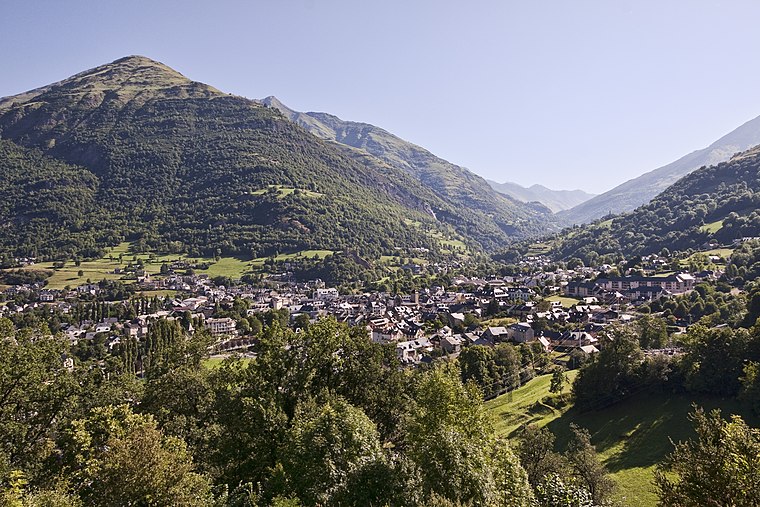
Photo: Jean-Christophe BENOIST, CC BY 3.0.
Luz-Saint-Sauveur is a commune in the Hautes-Pyrénées department in the Occitania region of south-western France. It lies on the river Bastan, a tributary of the Gave de Pau. Luz-Saint-Sauveur is situated 6 km north of Philippe Roudet.
Esterre
Village

Photo: Jean-Christophe BENOIST, CC BY 3.0.
Esterre is a commune in the Hautes-Pyrénées department in south-western France. Esterre is situated 6 km north of Philippe Roudet.
Philippe Roudet
- Type: Farm shop
- Address: Pragnères, Gavarnie-Gèdre, 65120
- Categories: shop and food
- Location: Gavarnie-Gèdre, Arrondissement of Argelès-Gazost, Hautes-Pyrénées, Occitanie, France, Europe
- View on OpenStreetMap
Latitude
42.81937° or 42° 49′ 10″ northLongitude
0.01269° or 0° 0′ 46″ eastOpen location code
8FJ2R297+P3OpenStreetMap ID
node 7390708189OpenStreetMap feature
shop=farm
This page is based on OpenStreetMap, Wikidata, and Wikimedia Commons.
We’d love your help improving our open data sources. Thank you for contributing.
Satellite Map
Discover Philippe Roudet from above in high-definition satellite imagery.
Notable Places Nearby
Highlights include Accueil public EDF and turon det Même.
Nearby Places
Explore places such as Poste source de Pragnères and Pragnères.
Hautes-Pyrénées: Must-Visit Destinations
Delve into Lourdes, Tarbes, Bagnères-de-Bigorre, and Pyrénées National Park.
Curious Farm Shops to Discover
Uncover intriguing farm shops from every corner of the globe.
About Mapcarta. Data © OpenStreetMap contributors and available under the Open Database License". Text is available under the CC BY-SA 4.0 license, except for photos, directions, and the map. Photo: Frederik Vandaele, CC BY 2.5.