La Ruchère
La Ruchère is a hamlet in Saint-Christophe-sur-Guiers, Arrondissement of Grenoble, Auvergne-Rhône-Alpes and has an elevation of 916 metres. La Ruchère is situated nearby to the hamlet Les Reverdys, as well as near Les Jolys.| Tap on a place to explore it |
Places of Interest
Highlights include Château de Montbel and Église Saint-Jean-Baptiste de Corbel.

Église Saint-Jean-Baptiste de Corbel
Church
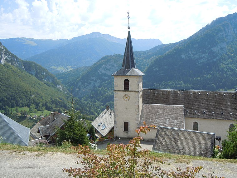
Photo: Patrice78500, CC BY-SA 3.0.
Église Saint-Jean-Baptiste de Corbel is a church.
Roche Veyrand
Peak

Photo: Gemini1980, CC BY-SA 3.0.
Roche Veyrand is a mountain of Savoie, France. It lies in the Chartreuse Mountains range. It has an elevation of 1,429 metres above sea level. It lies between the townships of Corbel and Saint-Pierre-d'Entremont in Savoie. Roche Veyrand is situated 3 km northeast of La Ruchère.
Places in the Area
Nearby places include Corbel and Saint-Pierre-d’Entremont.
Corbel
Village

Photo: Patrice78500, CC BY-SA 3.0.
Corbel is a commune in the Savoie department in the Auvergne-Rhône-Alpes region in south-eastern France. It borders the department of Isère.
Saint-Pierre-d’Entremont
Village

Photo: Semnoz, CC BY-SA 3.0.
Saint-Pierre-d'Entremont is a commune in the Savoie department in the Auvergne-Rhône-Alpes region in south-eastern France. Saint-Pierre-d’Entremont is situated 3½ km east of La Ruchère.
Saint-Laurent-du-Pont
Village

Photo: Lymantria, CC BY-SA 3.0.
Saint-Laurent-du-Pont is a commune in the Isère department in southeastern France. In 1970 it was the location of the Club Cinq-Sept fire, in which 146 people died. Saint-Laurent-du-Pont is situated 7 km southwest of La Ruchère.
La Ruchère
- Type: Hamlet
- Category: locality
- Location: Saint-Christophe-sur-Guiers, Arrondissement of Grenoble, Isère, Auvergne-Rhône-Alpes, France, Europe
- View on OpenStreetMap
Latitude
45.41574° or 45° 24′ 57″ northLongitude
5.80765° or 5° 48′ 28″ eastElevation
916 metres (3,005 feet)Open location code
8FQ7CR85+73OpenStreetMap ID
node 740154381OpenStreetMap feature
place=hamlet
This page is based on OpenStreetMap, Wikidata, and Wikimedia Commons.
We’d love your help improving our open data sources. Thank you for contributing.
Satellite Map
Discover La Ruchère from above in high-definition satellite imagery.
Localities in the Area
Explore places such as Les Reverdys and Les Jolys.
Notable Places Nearby
Highlights include War memorial of La Ruchère and Église Saint-Michel de la Ruchère.
Isère: Must-Visit Destinations
Delve into Grenoble, Vienne, Voiron, and Alpe d’Huez.
Curious Hamlets to Discover
Uncover intriguing hamlets from every corner of the globe.
About Mapcarta. Data © OpenStreetMap contributors and available under the Open Database License". Text is available under the CC BY-SA 4.0 license, except for photos, directions, and the map. Photo: Samat, CC BY-SA 3.0.