Whiskey Point Trailhead
Whiskey Point Trailhead is a trailhead in Scott Township, Allegheny County, Pennsylvania which is located on Scrubgrass Road. Whiskey Point Trailhead is situated nearby to Scott Township Veterans Memorial Bridge, as well as near Bible Baptist Church.| Tap on a place to explore it |
Places of Interest Nearby
Highlights include Woodville and Chartiers Valley School District.
Woodville
Farm

Photo: Daniel Case, CC BY-SA 3.0.
Woodville, also known as the Neville House or John Neville House, is a house which is located on Washington Pike south of Heidelberg, Pennsylvania, United States. Woodville is situated 1,900 feet southwest of Whiskey Point Trailhead.
Chartiers Valley School District
School building
Chartiers Valley School District is a suburban borough school district that serves an area southwest of Pittsburgh, including the Boroughs of Bridgeville, Heidelberg, Collier Township and Scott Township in Allegheny County, Pennsylvania, United States. Chartiers Valley School District is situated 3,100 feet west of Whiskey Point Trailhead.
Saint Clair Memorial Hospital
Hospital
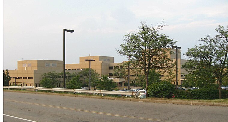
Photo: Jim.henderson, Public domain.
Saint Clair Memorial Hospital is situated 1¼ miles east of Whiskey Point Trailhead.
Places in the Area
Nearby places include Scott Township and Presto.
Scott Township
Town
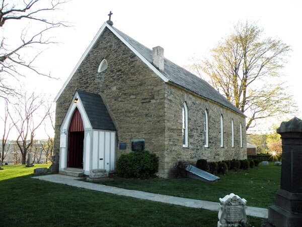
Photo: Leepaxton, CC BY-SA 4.0.
Scott Township is a township in Allegheny County, Pennsylvania, United States. The population was 17,024 at the 2010 census.
Presto
Hamlet
Presto is an unincorporated community in Allegheny County, Pennsylvania, United States. The community is located along Chartiers Creek, 8 miles southwest of Pittsburgh. Presto is situated 1½ miles west of Whiskey Point Trailhead.
Mt. Lebanon
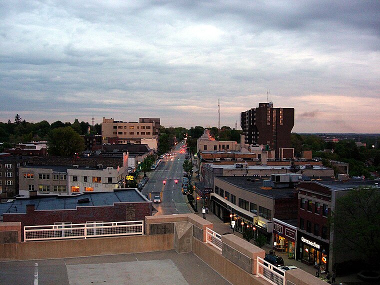
Photo: Pittsburgh7, Public domain.
Mt. Lebanon is an affluent suburb in Allegheny County, Pennsylvania, about seven miles south of Downtown Pittsburgh. Uptown Mt. Lebanon, a business district along Washington Road in the northern part of the township, is one of the more prominent business districts in the area outside of Pittsburgh itself.
Whiskey Point Trailhead
- Type: Trailhead
- Address: 1461 Scrubgrass Road, 15106
- Category: sports location
- Location: Scott Township, Allegheny County, Pittsburgh Region, Pennsylvania, Mid-Atlantic, United States, North America
- View on OpenStreetMap
Latitude
40.38185° or 40° 22′ 55″ northLongitude
-80.09012° or 80° 5′ 24″ westOpen location code
86GX9WJ5+PXOpenStreetMap ID
node 7416233390OpenStreetMap feature
highway=trailhead
This page is based on OpenStreetMap, Wikidata, and Wikimedia Commons.
We’d love your help improving our open data sources. Thank you for contributing.
Satellite Map
Discover Whiskey Point Trailhead from above in high-definition satellite imagery.
Notable Places Nearby
Highlights include Scott Township Veterans Memorial Bridge and Bible Baptist Church.
Nearby Places
Explore places such as Redwood Grove and Fernwood Grove.
Allegheny County: Must-Visit Destinations
Delve into Pittsburgh, Oakland, Downtown Pittsburgh, and South Side.
Curious Trailheads to Discover
Uncover intriguing trailheads from every corner of the globe.
About Mapcarta. Data © OpenStreetMap contributors and available under the Open Database License". Text is available under the CC BY-SA 4.0 license, except for photos, directions, and the map. Photo: Albright.kevin.s, CC BY-SA 3.0.