Sodbrunnen
Sodbrunnen is in Zurich, Canton of Zurich. Sodbrunnen is situated nearby to Rennweg, as well as near the playground Lindenhof.| Tap on a place to explore it |
Photo: Katja Hottingen, CC BY-SA 4.0.
- Type: Tourist attraction
- Description: Rennweg Sodbrunnen
- Wheelchair access: no
Places of Interest Nearby
Highlights include Lindenhof hill and Rennweg.
Lindenhof hill
Square

Photo: Roland zh, CC BY-SA 3.0.
The Lindenhof is a moraine hill and public square in the historic center of Zurich, Switzerland. It is the site of the Roman and Carolingian era Kaiserpfalz around which the city has historically grown.
Rennweg
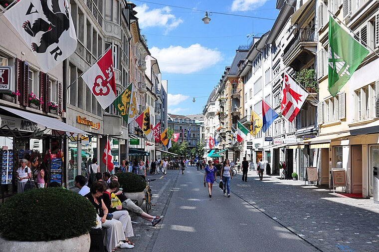
Photo: Roland zh, CC BY-SA 3.0.
Rennweg is a medieval main road and is today part of the inner-city pedestrian zone of Zurich, Switzerland. In medieval German, a Rennweg was a street where horses could run.
Cabaret Voltaire
Arts center

Photo: Parpan05, CC BY-SA 3.0.
Cabaret Voltaire is the birthplace of the Dada art movement, founded in Zurich, Switzerland, in 1916. It was founded by Hugo Ball and Emmy Hennings as a cabaret intended for artistic and political purposes. Cabaret Voltaire is situated 370 metres southeast of Sodbrunnen.
Places in the Area
Nearby places include Schipfe and Altstadt.
Schipfe
Locality

Photo: Roland zh, CC BY-SA 3.0.
Schipfe is a residential district in Zurich, Switzerland, located on the eastern slope of the Lindenhof, one of the oldest parts of the Helvetii Oppidum Zurich-Lindenhof, by the river Limmat.
Altstadt
Suburb
The Altstadt in the Swiss city of Zurich encompasses the area of the entire historical city before 1893, before the incorporation of what are now districts 2 to 12 into the municipality, over the period 1893 to 1934.
Sodbrunnen
- Categories: drinking fountain and tourism
- Location: Zurich, Zürich District, Canton of Zurich, Zurich, Switzerland, Central Europe, Europe
- View on OpenStreetMap
Latitude
47.37306° or 47° 22′ 23″ northLongitude
8.53957° or 8° 32′ 23″ eastOpen location code
8FVC9GFQ+6ROpenStreetMap ID
node 7423846036OpenStreetMap feature
man_made=water_wellOpenStreetMap feature
tourism=attractionOpenStreetMap attribute
wheelchair=noWikidata ID
Q94701082
This page is based on OpenStreetMap, Wikidata, and Wikimedia Commons.
We’d love your help improving our open data sources. Thank you for contributing.
Satellite Map
Discover Sodbrunnen from above in high-definition satellite imagery.
In Other Languages
“Sodbrunnen” goes by many names.
- German: “Sodbrunnen”
Places with the Same Name
Discover other places named “Sodbrunnen”.
Notable Places Nearby
Highlights include Lindenhof and Widder Hotel.
Nearby Places
Explore places such as Liu Jo and Oris Hölstein.
Zurich: Must-Visit Destinations
Delve into Winterthur, Aarau, Zug, and Zurich Airport.
Curious Places to Discover
Uncover intriguing places from every corner of the globe.
About Mapcarta. Data © OpenStreetMap contributors and available under the Open Database License". Text is available under the CC BY-SA 4.0 license, except for photos, directions, and the map. Photo: Katja Hottingen, CC BY-SA 4.0.