Bar Can Domingo
Bar Can Domingo is a café in Balearic Islands, Spain. Bar Can Domingo is situated nearby to plaça de Miquel Dolç, as well as near the church Sant Josep Obrer.| Tap on a place to explore it |
Places of Interest Nearby
Highlights include Son Costa/Son Fortesa station and Palma Intermodal Station.
Son Costa/Son Fortesa station
Railway station
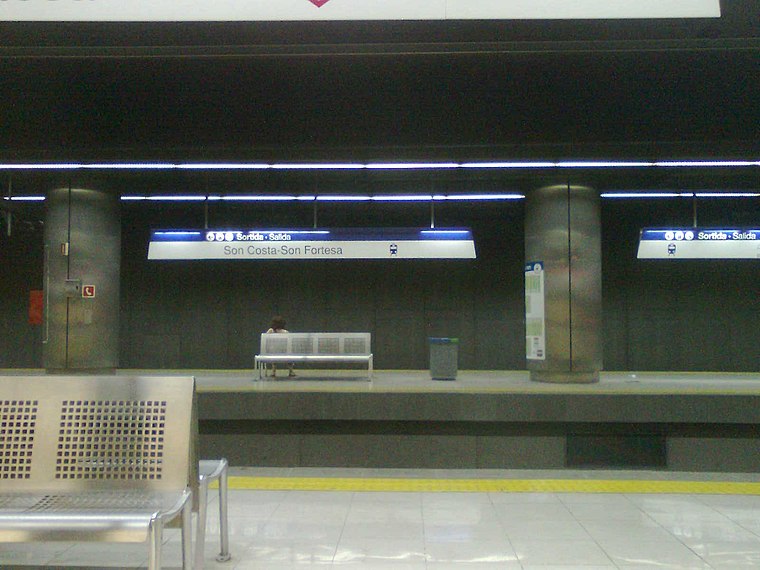
Photo: Josep Arias i López, CC BY-SA 3.0.
Son Costa / Son Fortesa is an underground station of Serveis Ferroviaris de Mallorca and Palma Metro in Palma on the island of Majorca, Spain. The station is located at the northeasterly end of Miguel Fleta Street. Son Costa/Son Fortesa station is situated 1 km north of Bar Can Domingo.
Palma Intermodal Station
Railway station
 Palma Intermodal Station is the main railway station of Palma on the island of Majorca, Spain. It is located at the Plaça d'Espanya in the centre of the city and is also known as Palma Plaça d'Espanya. Palma Intermodal Station is situated 1¼ km west of Bar Can Domingo.
Gran Hotel
Museum

Photo: Pérez, CC BY-SA 4.0.
The Gran Hotel is a former historic hotel located in Plaza Weyler, in Palma, the capital of Mallorca, the largest of the Balearic Islands. It is part of the historic centre of the city. Gran Hotel is situated 1½ km west of Bar Can Domingo.
Places in the Area
Nearby places include Son Gotleu and Barri de Pere Garau.


Bar Can Domingo
- Type: Café
- Location: Balearic Islands, Spain, Iberia, Europe
- View on OpenStreetMap
Latitude
39.57706° or 39° 34′ 37″ northLongitude
2.66927° or 2° 40′ 9″ eastOpen location code
8FF4HMG9+RPOpenStreetMap ID
node 7432977758OpenStreetMap feature
amenity=cafe
This page is based on OpenStreetMap, Wikidata, and Wikimedia Commons.
We’d love your help improving our open data sources. Thank you for contributing.
Satellite Map
Discover Bar Can Domingo from above in high-definition satellite imagery.
Notable Places Nearby
Highlights include plaça de Miquel Dolç and Sant Josep Obrer.
Nearby Places
Explore places such as Loterías y Apuestas del Estado and Santagloria.
Balearic Islands: Must-Visit Destinations
Delve into Palma de Mallorca, Formentera, Ibiza, and Maó.
Curious Cafés to Discover
Uncover intriguing cafés from every corner of the globe.
About Mapcarta. Data © OpenStreetMap contributors and available under the Open Database License". Text is available under the CC BY-SA 4.0 license, except for photos, directions, and the map. Photo: anieto2k, CC BY-SA 2.0.