Cave et caldarium
Cave et caldarium is a ruins in Martigny, Valais. Cave et caldarium is situated nearby to the archaeological site Quartier romain, as well as near the ruins Domus Minerva.| Tap on a place to explore it |
Places of Interest Nearby
Highlights include Musée et Chiens du Saint-Bernard and Fondation Pierre Gianadda.
Musée et Chiens du Saint-Bernard
Museum

Photo: Wikimedia, CC BY-SA 3.0.
Musée et Chiens du Saint-Bernard is a museum, which is situated 310 metres southeast of Cave et caldarium.
Fondation Pierre Gianadda

Photo: Sylenius, CC BY-SA 3.0.
Fondation Pierre Gianadda, inaugurated in 1978, administers museums and exhibitions located in Martigny, Switzerland. The permanent exhibitions include the Automobile Museum, Gallo-Roman Museum, Louis and Evelyn Franck Collection, Sculpture Park, and Chagall Court. Fondation Pierre Gianadda is situated 360 metres south of Cave et caldarium.
Martigny-Bourg railway station
Railway station

Photo: ChristiaanPR, CC BY-SA 4.0.
Martigny-Bourg railway station is a railway station in the municipality of Martigny, in the Swiss canton of Valais. It is an intermediate stop and a request stop on the standard gauge Martigny–Orsières line of Transports de Martigny et Régions. Martigny-Bourg railway station is situated 520 metres south of Cave et caldarium.
Places in the Area
Nearby places include Bovernier and Gorges du Durnand.
Bovernier
Village
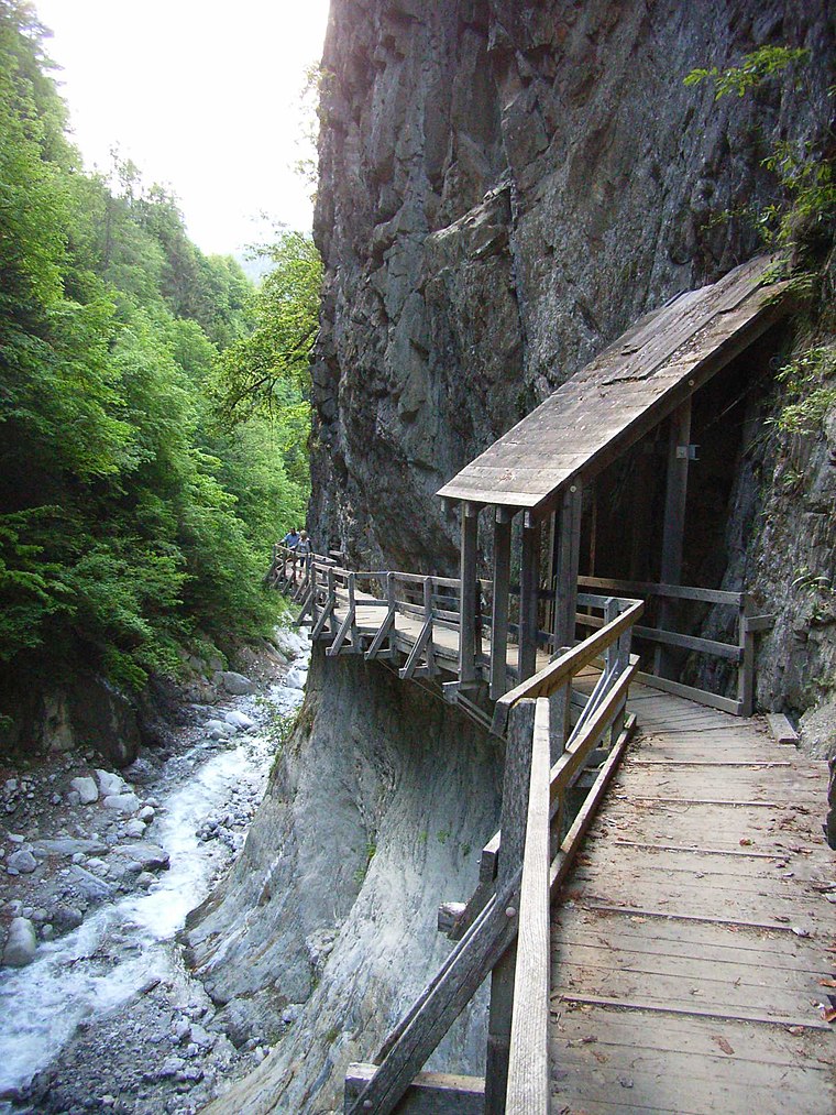
Photo: Lysippos, CC BY-SA 2.0 de.
Bovernier is a municipality in the district of Martigny in the canton of Valais in Switzerland.
Gorges du Durnand
Locality

Photo: Gaelbourgeois, CC BY-SA 4.0.
Gorges du Durnand is a locality, which is situated 3 km south of Cave et caldarium.
Salvan
Village

Photo: copetan, CC BY-SA 2.0.
Salvan is a municipality in the Saint-Maurice District, in Valais, Switzerland. Salvan is situated 5 km northwest of Cave et caldarium.
Cave et caldarium
- Type: Ruins
- Category: historic site
- Location: Martigny, Martigny District, Valais, Switzerland, Central Europe, Europe
- View on OpenStreetMap
Latitude
46.09775° or 46° 5′ 52″ northLongitude
7.07248° or 7° 4′ 21″ eastOpen location code
8FR933XC+3XOpenStreetMap ID
node 746707078OpenStreetMap feature
historic=ruins
This page is based on OpenStreetMap, Wikidata, and Wikimedia Commons.
We’d love your help improving our open data sources. Thank you for contributing.
Satellite Map
Discover Cave et caldarium from above in high-definition satellite imagery.
Notable Places Nearby
Highlights include Quartier romain and Domus Minerva.
Nearby Places
Explore places such as Le Bistrot and Rue du bistrot.
Curious Ruins to Discover
Uncover intriguing ruins from every corner of the globe.
About Mapcarta. Data © OpenStreetMap contributors and available under the Open Database License". Text is available under the CC BY-SA 4.0 license, except for photos, directions, and the map. Photo: Wikimedia, CC0.