Skibssætninger
Skibssætninger is an archaeological site in Sønderborg Municipality, Region of Southern Denmark. Skibssætninger is situated nearby to the forest Sebbelev Skov, as well as near the hamlet Egen.| Tap on a place to explore it |
Places of Interest Nearby
Highlights include Sønderborg Airport and Augustenborg Palace.
Sønderborg Airport
Aerodrome
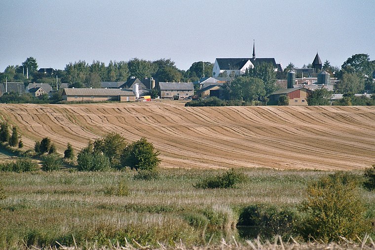
 Sønderborg Airport is an airport located in Sønderborg, Denmark. The airport officially opened in 1968; however, the first flights took place in 1950, and were flown by Sønderjyllands Flyveselskab. Sønderborg Airport is situated 3 km southwest of Skibssætninger.
Augustenborg Palace
Castle

Photo: PodracerHH, Public domain.
Augustenborg Palace is a Rococo-style palace in the southwestern part of Augustenborg, Als Island, Denmark, overlooking Augustenborg Fjord. The palace owes its name to Duchess Auguste. Augustenborg Palace is situated 4 km southeast of Skibssætninger.

Places in the Area
Nearby places include Egen and Guderup.
Guderup
Village

Photo: Beethoven9, CC BY-SA 4.0.
Guderup is a town located on the island of Als in south Denmark, in Sønderborg Municipality. Guderup is situated 3 km northeast of Skibssætninger.
Stevning
Village

Photo: Beethoven9, CC BY-SA 4.0.
Stevning is a village, which is situated 3 km north of Skibssætninger.
Skibssætninger
- Type: Archaeological site
- Categories: historic site, tourist attraction, and tourism
- Location: Sønderborg Municipality, Region of Southern Denmark, Denmark, Nordic countries, Europe
- View on OpenStreetMap
Latitude
54.97467° or 54° 58′ 29″ northLongitude
9.83486° or 9° 50′ 6″ eastOpen location code
9F6FXRFM+VWOpenStreetMap ID
node 7492004218OpenStreetMap feature
historic=archaeological_site
This page is based on OpenStreetMap, Wikidata, and Wikimedia Commons.
We’d love your help improving our open data sources. Thank you for contributing.
Satellite Map
Discover Skibssætninger from above in high-definition satellite imagery.
Notable Places Nearby
Highlights include Sebbelev Skov and Egen Autocamperplads.
Nearby Places
Explore places such as Dyndveden Handyman and Bygma.
Denmark: Must-Visit Destinations
Delve into Copenhagen, Aarhus, Odense, and Aalborg.
Curious Archaeological Sites to Discover
Uncover intriguing archaeological sites from every corner of the globe.
About Mapcarta. Data © OpenStreetMap contributors and available under the Open Database License". Text is available under the CC BY-SA 4.0 license, except for photos, directions, and the map. Photo: Wikimedia, CC BY-SA 3.0.