Der Bettelsteg
Der Bettelsteg is in Groitzsch, Leipzig, Saxony. Der Bettelsteg is situated nearby to the village Altengroitzsch, as well as near the peak Zeisighübel.| Tap on a place to explore it |
Places of Interest Nearby
Highlights include Rathaus Pegau and Kgl.-sächs. Postmeilenstein Groitzsch Grenzübergangsstein.
Rathaus Pegau
Town hall

Photo: Wikimedia, CC BY-SA 4.0.
Rathaus Pegau is a town hall, which is situated 3 km north of Der Bettelsteg.
Kgl.-sächs. Postmeilenstein Groitzsch Grenzübergangsstein
Historic site
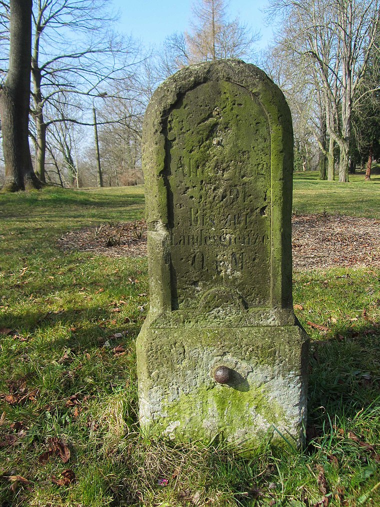
Photo: Radler59, CC BY-SA 3.0.
Kgl.-sächs. Postmeilenstein Groitzsch Grenzübergangsstein is a historic site, which is situated 2 km north of Der Bettelsteg.
Kgl.-sächs. Postmeilenstein Groitzsch Halbmeilenstein
Historic site
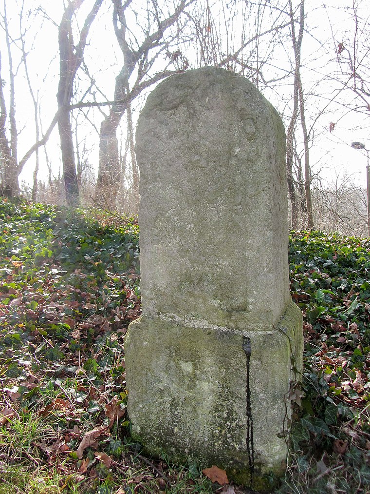
Photo: Radler59, CC BY-SA 3.0.
Kgl.-sächs. Postmeilenstein Groitzsch Halbmeilenstein is a historic site, which is situated 2 km north of Der Bettelsteg.
Places in the Area
Nearby places include Altengroitzsch and Nöthnitz.


Der Bettelsteg
- Type: Sign
- Categories: information and tourism
- Location: Groitzsch, Leipzig, Saxony, Germany, Central Europe, Europe
- View on OpenStreetMap
Latitude
51.14172° or 51° 8′ 30″ northLongitude
12.26428° or 12° 15′ 51″ eastOpen location code
9F3J47R7+MPOpenStreetMap ID
node 7527616790OpenStreetMap feature
tourism=information
This page is based on OpenStreetMap, Wikidata, and Wikimedia Commons.
We’d love your help improving our open data sources. Thank you for contributing.
Satellite Map
Discover Der Bettelsteg from above in high-definition satellite imagery.
Notable Places Nearby
Highlights include Zeisighübel and Steinberg.
Nearby Places
Explore places such as Rotkehlchen and Altengroitzsch.
Saxony: Must-Visit Destinations
Delve into Dresden, Leipzig, Chemnitz, and Meißen.
Curious Places to Discover
Uncover intriguing places from every corner of the globe.
About Mapcarta. Data © OpenStreetMap contributors and available under the Open Database License". Text is available under the CC BY-SA 4.0 license, except for photos, directions, and the map. Photo: Taxiarchos228, FAL.