BMW Polygon
BMW Polygon is in Dolní Nivy, Sokolov District, Karlovy Vary Region. BMW Polygon is situated nearby to the village Dolní Nivy, as well as near the peak Špičák.| Tap on a place to explore it |
Places of Interest Nearby
Highlights include Hartenberg and Church of Saint Giles.
Hartenberg
Castle
 Hartenberg is the ruin of a castle over the village of Hřebeny in the municipality of Josefov in the Karlovy Vary Region of the Czech Republic. Hartenberg is situated 3½ km southwest of BMW Polygon.
Church of Saint Giles
Church

Photo: Lubor Ferenc, CC BY-SA 4.0.
Church of Saint Giles is situated 3½ km south of BMW Polygon.
Luh nad Svatavou railway stop
Railway stop

Photo: Lubor Ferenc, CC BY-SA 4.0.
Luh nad Svatavou railway stop is situated 3½ km southwest of BMW Polygon.
Places in the Area
Nearby places include Dolní Nivy and Boučí.
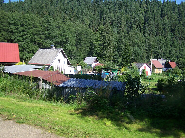
Dolní Nivy
Village

Photo: Biodedek, CC BY-SA 3.0.
Dolní Nivy is a municipality and village in Sokolov District in the Karlovy Vary Region of the Czech Republic. It has about 400 inhabitants.

Luh nad Svatavou
Hamlet
 Luh nad Svatavou is a hamlet, which is situated 3 km southwest of BMW Polygon.
BMW Polygon
- Type: Bumper car
- Categories: tourist attraction and tourism
- Location: Dolní Nivy, Sokolov District, Karlovy Vary Region, Czech Republic, Central Europe, Europe
- View on OpenStreetMap
Latitude
50.24135° or 50° 14′ 29″ northLongitude
12.61587° or 12° 36′ 57″ eastOpen location code
9F2J6JR8+G8OpenStreetMap ID
node 7535483810OpenStreetMap feature
attraction=bumper_car
This page is based on OpenStreetMap, Wikidata, and Wikimedia Commons.
We’d love your help improving our open data sources. Thank you for contributing.
Satellite Map
Discover BMW Polygon from above in high-definition satellite imagery.
Notable Places Nearby
Highlights include Špičák and Boučský vrch.
Nearby Places
Explore places such as Dolní Nivy and Polygon BMW.
Czech Republic: Must-Visit Destinations
Delve into Prague, Brno, Pilsen, and Ostrava.
Curious Places to Discover
Uncover intriguing places from every corner of the globe.
About Mapcarta. Data © OpenStreetMap contributors and available under the Open Database License". Text is available under the CC BY-SA 4.0 license, except for photos, directions, and the map. Photo: Mejdlowiki, CC BY-SA 4.0.