Wasserneck
Wasserneck is a work of art in Mömbris, Aschaffenburg, Bavaria. Wasserneck is situated nearby to the cemetery Alter Friedhof Schimborn, as well as near the church St. Jakobus.| Tap on a place to explore it |
Places of Interest Nearby
Highlights include Pfarrkirche and Glasberg.
Pfarrkirche
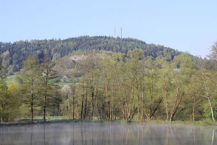
Church

Photo: Wikimedia, CC BY-SA 3.0.
Pfarrkirche is a church, which is situated 1¼ km northeast of Wasserneck.
Feldkahler Kapelle
Chapel

Photo: Nomygon, CC BY-SA 4.0.
Feldkahler Kapelle is a chapel, which is situated 2½ km east of Wasserneck.
Places in the Area
Nearby places include Schimborn and Kaltenberg.


Wasserneck
- Type: Work of art
- Artwork type: sculpture
- Category: tourism
- Location: Mömbris, Aschaffenburg, Lower Franconia, Franconia, Bavaria, Germany, Central Europe, Europe
- View on OpenStreetMap
Latitude
50.05437° or 50° 3′ 16″ northLongitude
9.19154° or 9° 11′ 30″ eastOpen location code
9F2F353R+PJOpenStreetMap ID
node 7559152189OpenStreetMap feature
tourism=artworkOpenStreetMap attribute
artwork_type=sculpture
This page is based on OpenStreetMap, Wikidata, and Wikimedia Commons.
We’d love your help improving our open data sources. Thank you for contributing.
Satellite Map
Discover Wasserneck from above in high-definition satellite imagery.
Notable Places Nearby
Highlights include Alter Friedhof Schimborn and St. Jakobus.
Nearby Places
Explore places such as Schimborn Abzweigung and Abzweig Schimborn.
Lower Franconia: Must-Visit Destinations
Delve into Würzburg, Aschaffenburg, Schweinfurt, and Bad Kissingen.
Curious Work Of Arts to Discover
Uncover intriguing work of arts from every corner of the globe.
About Mapcarta. Data © OpenStreetMap contributors and available under the Open Database License". Text is available under the CC BY-SA 4.0 license, except for photos, directions, and the map. Photo: Benreis, CC BY 3.0.