Nausterberg
Nausterberg is a peak in Hörselberg-Hainich, Wartburgkreis, Thuringia. Nausterberg is situated nearby to the village Beuernfeld, as well as near Bolleroda.| Tap on a place to explore it |
Places of Interest
Highlights include St. Peter and Paul (Großenlupnitz) and Protestant Church Beuernfeld.
St. Peter and Paul (Großenlupnitz)
Church
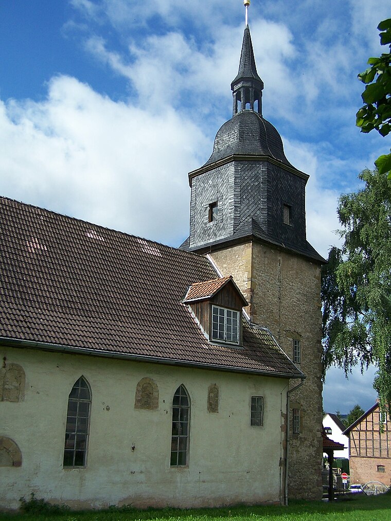
Photo: Metilsteiner, CC BY-SA 3.0.
St. Peter and Paul (Großenlupnitz) is a church.

Schloss Neuscharfenberg
Castle

Photo: Metilsteiner, CC BY-SA 3.0.
Schloss Neuscharfenberg is a castle.
Places in the Area
Nearby places include Berka vor dem Hainich and Hötzelsroda.
Berka vor dem Hainich
Village

Photo: Metilsteiner, CC BY-SA 3.0.
Berka vor dem Hainich is a municipality in the Wartburgkreis district of Thuringia, Germany. Nearby is the site of an early historical fortification known as the Alte Burg. The music theorist Eckehard Kiem was born in Berka.

Bischofroda
Village

Photo: Metilsteiner, CC BY-SA 3.0.
Bischofroda is a municipality in the Wartburgkreis district of Thuringia, Germany.
Nausterberg
- Type: Peak
- Category: landform
- Location: Hörselberg-Hainich, Wartburgkreis, Thuringia, Germany, Central Europe, Europe
- View on OpenStreetMap
Latitude
51.0118° or 51° 0′ 42″ northLongitude
10.4201° or 10° 25′ 12″ eastOpen location code
9F3G2C6C+P2OpenStreetMap ID
node 7589961738OpenStreetMap feature
natural=peak
This page is based on OpenStreetMap, Wikidata, and Wikimedia Commons.
We’d love your help improving our open data sources. Thank you for contributing.
Satellite Map
Discover Nausterberg from above in high-definition satellite imagery.
Localities in the Area
Explore places such as Beuernfeld and Bolleroda.
Notable Places Nearby
Highlights include Frohnburg and Goldberg.
Curious Peaks to Discover
Uncover intriguing peaks from every corner of the globe.
About Mapcarta. Data © OpenStreetMap contributors and available under the Open Database License". Text is available under the CC BY-SA 4.0 license, except for photos, directions, and the map. Photo: Taxiarchos228, FAL.