Die Bahnwärter
Die Bahnwärter is a guest house in Rehfelde, Märkisch-Oderland, Brandenburg. Die Bahnwärter is situated nearby to the railway stop Herrensee station, as well as near the peak Fuchsberg.| Tap on a place to explore it |
Places of Interest Nearby
Highlights include Rehfelde station and Herrensee station.
Rehfelde station
Railway station

Photo: Assenmacher, CC BY-SA 4.0.
Rehfelde station is a railway station in the municipality of Rehfelde in the Märkisch-Oderland district of Brandenburg. It is served by the line RB 26. Rehfelde station is situated 1½ km east of Die Bahnwärter.
Herrensee station
Railway stop

Photo: Molgreen, CC BY-SA 4.0.
Herrensee station is a railway station in the village of Herrensee in the municipality of Rehfelde in the Märkisch-Oderland district of Brandenburg, Germany. It is served by the line RB 26. Herrensee station is situated 1 km west of Die Bahnwärter.
Zimmersee
Protected area
 Zimmersee is a protected area, which is situated 2 km northeast of Die Bahnwärter.
Places in the Area
Nearby places include Zinndorf and Gladowshöhe.
Zinndorf
Village

Photo: Assenmacher, CC BY-SA 4.0.
Zinndorf is a village, which is situated 3½ km southeast of Die Bahnwärter.
Gladowshöhe
Hamlet
Gladowshöhe is a village and a civil parish of the German town of Strausberg, located in the district of Märkisch-Oderland in Brandenburg. As of 2007 its population was of 217. Gladowshöhe is situated 4 km northeast of Die Bahnwärter.
Hennickendorf
Village
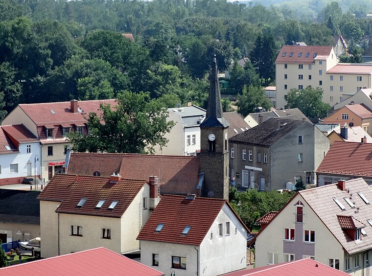
Photo: Assenmacher, CC BY-SA 4.0.
Hennickendorf is a village, which is situated 4½ km southwest of Die Bahnwärter.
Die Bahnwärter
- Type: Guest house
- Categories: tourism, accommodation, and building
- Location: Rehfelde, Märkisch-Oderland, Brandenburg, Germany, Central Europe, Europe
- View on OpenStreetMap
Latitude
52.5295° or 52° 31′ 46″ northLongitude
13.90084° or 13° 54′ 3″ eastOpen location code
9F4MGWH2+R8OpenStreetMap ID
node 7590631901OpenStreetMap feature
tourism=guest_house
This page is based on OpenStreetMap, Wikidata, and Wikimedia Commons.
We’d love your help improving our open data sources. Thank you for contributing.
Satellite Map
Discover Die Bahnwärter from above in high-definition satellite imagery.
Notable Places Nearby
Highlights include Die Bahnwärter and Fuchsberg.
Nearby Places
Explore places such as The White Horse and Azize.
Brandenburg: Must-Visit Destinations
Delve into Potsdam, Cottbus, Frankfurt an der Oder, and Brandenburg an der Havel.
Curious Guest Houses to Discover
Uncover intriguing guest houses from every corner of the globe.
About Mapcarta. Data © OpenStreetMap contributors and available under the Open Database License". Text is available under the CC BY-SA 4.0 license, except for photos, directions, and the map. Photo: Leviathan1983, CC BY-SA 3.0.