der Küchenplaner
der Küchenplaner is a shop in Hamburg, Hamburg. der Küchenplaner is situated nearby to the fire station Freiwillige Feuerwehr Fischbek, as well as near the church Ev.-Luth. Cornelius-Kirche.| Tap on a place to explore it |
Places of Interest Nearby
Highlights include Fischbek station and Hamburg-Neugraben station.
Fischbek station
Railway stop

Photo: MissyWegner, Public domain.
Fischbek is a rapid transit railway station located in the Neugraben-Fischbek quarter of Hamburg. The trains of the Hamburg S-Bahn serve the station on the line S5 from Elbgaustraße station via central station to Stade. Fischbek station is situated 560 metres northwest of der Küchenplaner.
Hamburg-Neugraben station
Railway station
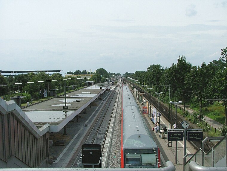
Photo: Lennart, CC BY-SA 2.0.
Hamburg-Neugraben or Neugraben railway station is situated in Neugraben-Fischbek, which is a quarter on the south-western border of Hamburg in north-western Germany. Hamburg-Neugraben station is situated 2 km east of der Küchenplaner.
Fischbek gliding site
Aerodrome

Photo: Carsten Steger, CC BY-SA 4.0.
Fischbek gliding site is an aerodrome.
Places in the Area
Nearby places include Neugraben-Fischbek and Wulmstorf.
Neugraben-Fischbek
Suburb

Photo: Wikimedia, Public domain.
Neugraben-Fischbek is a quarter of Hamburg, Germany, and belongs to the borough Harburg. The quarter consists of the old settlements Neugraben and Fischbek, and the more recently constructed area Neuwiedenthal.
Wulmstorf
Village

Photo: Aeroid, CC BY-SA 3.0.
Wulmstorf is a village in the municipality Neu Wulmstorf in the district Harburg in the north east of Lower Saxony, Germany. It is part of the Hamburg Metropolitan Region. Wulmstorf is situated 3½ km southwest of der Küchenplaner.
Daerstorf
Village

Photo: Aeroid, CC BY-SA 3.0.
Daerstorf is a village in the municipality Neu Wulmstorf in the district Harburg in the north of Lower Saxony, Germany. It is part of the Hamburg Metropolitan Region. Daerstorf is situated 4 km south of der Küchenplaner.
der Küchenplaner
- Type: Shop
- Location: Hamburg, Hamburg, Freie und Hansestadt, Hamburg, Germany, Central Europe, Europe
- View on OpenStreetMap
Latitude
53.47099° or 53° 28′ 16″ northLongitude
9.82495° or 9° 49′ 30″ eastOpen location code
9F5FFRCF+9XOpenStreetMap ID
node 7649438801OpenStreetMap feature
shop=kitchen
This page is based on OpenStreetMap, Wikidata, and Wikimedia Commons.
We’d love your help improving our open data sources. Thank you for contributing.
Satellite Map
Discover der Küchenplaner from above in high-definition satellite imagery.
Notable Places Nearby
Highlights include Freiwillige Feuerwehr Fischbek and Ev.-Luth. Cornelius-Kirche.
Nearby Places
Explore places such as Norbert Eckhardt and Jacques’ Wein-Depot.
Hamburg: Must-Visit Destinations
Delve into Altona-St. Pauli, Neustadt-Altstadt, East Hamburg, and North Hamburg.
Curious Shops to Discover
Uncover intriguing shops from every corner of the globe.
About Mapcarta. Data © OpenStreetMap contributors and available under the Open Database License". Text is available under the CC BY-SA 4.0 license, except for photos, directions, and the map. Photo: Joerg Moellenkamp, CC BY 2.0.