Prassurny
Prassurny is a hamlet in Orsières, Entremont District, Valais which is located on prassurny and has about 80 residents and an elevation of 1,105 metres. Prassurny is situated nearby to the locality La Deuve Sous Champex, as well as near the village Somlaproz.| Tap on a place to explore it |
- Type: Hamlet with 80 residents
- Address: prassurny, Orsières, 1937
- Postal code: 1937
Places of Interest
Highlights include Artillery Fort of Champex and Orsières railway station.
Artillery Fort of Champex
Museum

Photo: Picea Abies, CC BY-SA 3.0.
Artillery Fort of Champex is a museum.
Orsières railway station
Railway station
 Orsières railway station is a railway station in the municipality of Orsières, in the Swiss canton of Valais. It is the southern terminus of the standard gauge Martigny–Orsières line of Transports de Martigny et Régions.
Places in the Area
Nearby places include Champex and Orsières.
Champex
Village

Photo: Bescoff, CC BY-SA 3.0.
Champex is a village located in the French-speaking Swiss canton of Valais, part of the municipality of Orsières. The village lies at 1,470 metres on the shore of Lac de Champex, at the foot of the Mont Blanc Massif.
Orsières
Village

Photo: Roland Zumbuehl, CC BY 3.0.
Orsières is a municipality in the district of Entremont in the canton of Valais in Switzerland.
Liddes
Village
 Liddes is a municipality in the district of Entremont in the canton of Valais in Switzerland. Liddes is situated 6 km southeast of Prassurny.
Prassurny
- Category: locality
- Location: Orsières, Entremont District, Valais, Switzerland, Central Europe, Europe
- View on OpenStreetMap
Latitude
46.02253° or 46° 1′ 21″ northLongitude
7.12942° or 7° 7′ 46″ eastPopulation
80Elevation
1,105 metres (3,625 feet)Open location code
8FR924FH+2QOpenStreetMap ID
node 765575160OpenStreetMap feature
place=hamlet
This page is based on OpenStreetMap, Wikidata, and Wikimedia Commons.
We’d love your help improving our open data sources. Thank you for contributing.
Satellite Map
Discover Prassurny from above in high-definition satellite imagery.
Places with the Same Name
Discover other places named “Prassurny”.
Localities in the Area
Explore places such as La Deuve Sous Champex and Somlaproz.
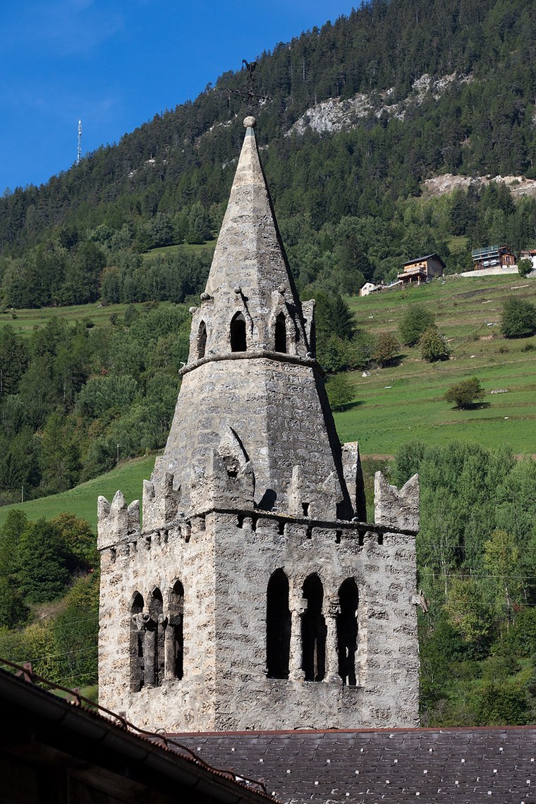
Notable Places Nearby
Highlights include Château Roc and Eglise catholique.
Valais: Must-Visit Destinations
Delve into Sion, Zermatt, Martigny, and Brig.
Curious Hamlets to Discover
Uncover intriguing hamlets from every corner of the globe.
About Mapcarta. Data © OpenStreetMap contributors and available under the Open Database License". Text is available under the CC BY-SA 4.0 license, except for photos, directions, and the map. Photo: Debugman, CC BY 3.0.