Halte Fluviale Alfred Leroux à Chauny
Halte Fluviale Alfred Leroux à Chauny is a marina in Canton of Chauny, Arrondissement de Laon, Hauts-de-France. Halte Fluviale Alfred Leroux à Chauny is situated nearby to the square Place Notre-Dame, as well as near the church Église Notre-Dame de Chauny.| Tap on a place to explore it |
Places of Interest Nearby
Highlights include Chauny station and Église Notre-Dame de Chauny.
Chauny station
Railway station
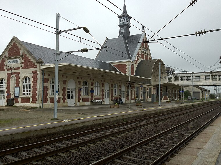
Photo: Cl9f, CC BY-SA 3.0.
Chauny station is a railway station serving the town Chauny, Aisne department, northern France. It is situated on the Creil–Jeumont railway. Chauny station is situated 740 metres northeast of Halte Fluviale Alfred Leroux à Chauny.
Église Notre-Dame de Chauny
Church
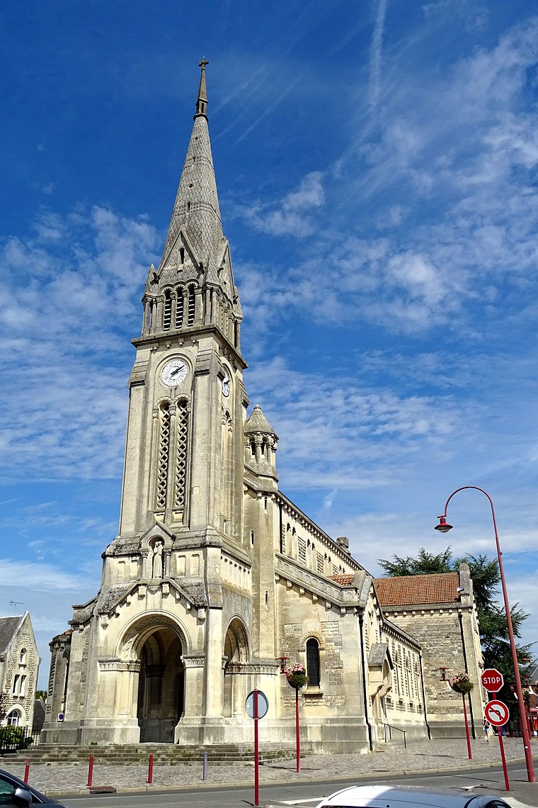
Photo: P.poschadel, CC BY-SA 4.0.
Église Notre-Dame de Chauny is a church, which is situated 590 metres north of Halte Fluviale Alfred Leroux à Chauny.
Town hall of Chauny
Town hall

Photo: P.poschadel, CC BY-SA 4.0.
Town hall of Chauny is situated 1 km north of Halte Fluviale Alfred Leroux à Chauny.
Places in the Area
Nearby places include Chauny and Neuflieux.
Chauny
Town
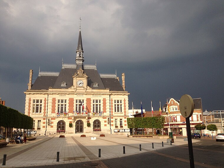
Photo: Cl9f, CC BY-SA 3.0.
Chauny is a commune in the Aisne department in Hauts-de-France in northern France.
Neuflieux
Village

Photo: Havang(nl), CC0.
Neuflieux is a commune in the Aisne department in Hauts-de-France in northern France. Neuflieux is situated 4½ km west of Halte Fluviale Alfred Leroux à Chauny.
Marest-Dampcourt
Village

Photo: Havang(nl), CC0.
Marest-Dampcourt is a commune in the Aisne department in Hauts-de-France in northern France. Marest-Dampcourt is situated 5 km west of Halte Fluviale Alfred Leroux à Chauny.
Halte Fluviale Alfred Leroux à Chauny
- Type: Marina
- Categories: recreation area and transportation
- Location: Canton of Chauny, Arrondissement de Laon, Aisne, Hauts-de-France, France, Europe
- View on OpenStreetMap
Latitude
49.60548° or 49° 36′ 20″ northLongitude
3.2183° or 3° 13′ 6″ eastOperator
ACTAN Association Chaunoise Tourisme et Activités NautiquesOpen location code
8FX5J649+58OpenStreetMap ID
node 7669811042OpenStreetMap feature
leisure=marina
This page is based on OpenStreetMap, Wikidata, and Wikimedia Commons.
We’d love your help improving our open data sources. Thank you for contributing.
Satellite Map
Discover Halte Fluviale Alfred Leroux à Chauny from above in high-definition satellite imagery.
Notable Places Nearby
Highlights include Halte fluviale Alfred-Leroux and Place Notre-Dame.
Nearby Places
Explore places such as Centrale hydroélectrique de la Soudière and O’Bout’Choux.
Hauts-de-France: Must-Visit Destinations
Delve into Lille, Dunkirk, Calais, and Amiens.
Curious Marinas to Discover
Uncover intriguing marinas from every corner of the globe.
About Mapcarta. Data © OpenStreetMap contributors and available under the Open Database License". Text is available under the CC BY-SA 4.0 license, except for photos, directions, and the map. Photo: Havang(nl), CC0.