Centre lʼEau-Vive
Centre lʼEau-Vive is in Saignelégier, Franches-Montagnes District, Canton of Jura. Centre lʼEau-Vive is situated nearby to the scenic viewpoint Corniche de Goumois, as well as near L’arête des Sommêtres.| Tap on a place to explore it |
Places of Interest Nearby
Highlights include Sommêtres and Le Noirmont railway station.
Sommêtres
Castle

Photo: Wikimedia, CC BY-SA 3.0.
The Sommêtres are a chain of rocks overlooking the Doubs, north of Le Noirmont in the canton of Canton of Jura. The Sommêtres are a popular climbing area. Sommêtres is situated 1 km southeast of Centre lʼEau-Vive.
Le Noirmont railway station
Railway station

Photo: Wikimedia, CC BY-SA 4.0.
Le Noirmont railway station is a railway station in the municipality of Le Noirmont, in the Swiss canton of Jura. It is located at the junction of the 1,000 mm La Chaux-de-Fonds–Glovelier and Tavannes–Noirmont lines of the Chemins de fer du Jura. Le Noirmont railway station is situated 2 km south of Centre lʼEau-Vive.
Former Saint-Hubert church
Church

Photo: Roland Zumbuehl, CC BY-SA 3.0.
Former Saint-Hubert church is situated 2 km south of Centre lʼEau-Vive.
Places in the Area
Nearby places include Muriaux and Goumois.
Muriaux
Village

Photo: Yesuitus2001, CC BY-SA 2.5.
Muriaux is a municipality in the district of Franches-Montagnes in the canton of Jura in Switzerland. On 1 January 2009, the formerly independent municipality of Le Peuchapatte merged into the municipality of Muriaux.
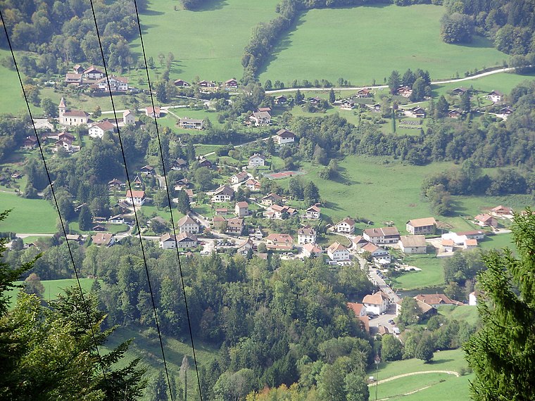
Le Noirmont
Village
 Le Noirmont is a municipality in the district of Franches-Montagnes in the canton of Jura in Switzerland.
Centre lʼEau-Vive
- Type: Sign
- Categories: information and tourism
- Location: Saignelégier, Franches-Montagnes District, Canton of Jura, Switzerland, Central Europe, Europe
- View on OpenStreetMap
Latitude
47.24336° or 47° 14′ 36″ northLongitude
6.95614° or 6° 57′ 22″ eastOpen location code
8FV86XV4+8FOpenStreetMap ID
node 7676454393OpenStreetMap feature
tourism=information
This page is based on OpenStreetMap, Wikidata, and Wikimedia Commons.
We’d love your help improving our open data sources. Thank you for contributing.
Satellite Map
Discover Centre lʼEau-Vive from above in high-definition satellite imagery.
Notable Places Nearby
Highlights include Corniche de Goumois and L’arête des Sommêtres.
Nearby Places
Explore places such as Réserve Naturelle du Doubs – le Theusseret and Quelques exemples dʼindustries anciennes.
Switzerland: Must-Visit Destinations
Delve into Zurich, Berne, Geneva, and Basel.
Curious Places to Discover
Uncover intriguing places from every corner of the globe.
About Mapcarta. Data © OpenStreetMap contributors and available under the Open Database License". Text is available under the CC BY-SA 4.0 license, except for photos, directions, and the map. Photo: Simonizer, CC BY-SA 2.0 de.