Sanus Pflegedienst
Sanus Pflegedienst is a social service facility in Berlin, Berlin which is located on Saarstraße. Sanus Pflegedienst is situated nearby to the community center Luise und Karl Kautsky Haus, as well as near the bridge Friedenauer Brücke.| Tap on a place to explore it |
Places of Interest Nearby
Highlights include Friedenauer Brücke and Berlin Feuerbachstraße station.
Friedenauer Brücke
Bridge

Photo: Wikimedia, CC BY-SA 2.0.
Friedenauer Brücke is a bridge, which is situated 110 metres east of Sanus Pflegedienst.
Berlin Feuerbachstraße station
Railway station

Photo: Platte, CC BY-SA 3.0.
S-Bhf. Berlin Feuerbachstraße is a railway station in the Steglitz locality of Berlin, Germany. It is served by the Berlin S-Bahn and several local bus lines. Berlin Feuerbachstraße station is situated 480 metres southwest of Sanus Pflegedienst.
Fläming-Grundschule
School
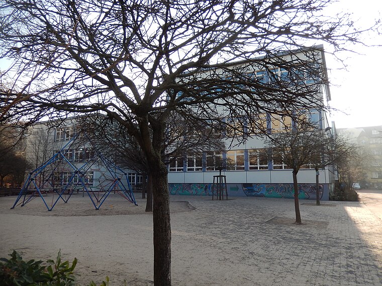
Photo: Gerd Fahrenhorst, CC BY 4.0.
Fläming-Grundschule is a school, which is situated 170 metres west of Sanus Pflegedienst.
Places in the Area
Nearby places include Künstlerkolonie and Rote Insel.

Rote Insel
Quarter
Rote Insel is the name colloquially given to a neighborhood in the Schöneberg district of the German capital, Berlin. As such, the neighborhood is part of Berlin's 7th administrative borough, Tempelhof-Schöneberg. Rote Insel is situated 2½ km northeast of Sanus Pflegedienst.
Lichterfelde
Suburb

Photo: Fridolin freudenfett, CC BY-SA 3.0.
Lichterfelde is a locality in the borough of Steglitz-Zehlendorf in Berlin, Germany. Until 2001 it was part of the former borough of Steglitz, along with Steglitz and Lankwitz. Lichterfelde is situated 3½ km southwest of Sanus Pflegedienst.
Sanus Pflegedienst
- Type: Social service facility
- Address: Saarstraße 9, Friedenau, Berlin, 12161
- Location: Berlin, Berlin, Stadt, Berlin, Germany, Central Europe, Europe
- View on OpenStreetMap
Latitude
52.46749° or 52° 28′ 3″ northLongitude
13.33594° or 13° 20′ 9″ eastOpen location code
9F4MF88P+X9OpenStreetMap ID
node 7680001261OpenStreetMap feature
amenity=social_facility
This page is based on OpenStreetMap, Wikidata, and Wikimedia Commons.
We’d love your help improving our open data sources. Thank you for contributing.
Satellite Map
Discover Sanus Pflegedienst from above in high-definition satellite imagery.
Notable Places Nearby
Highlights include Luise und Karl Kautsky Haus and Nachbarschaftshaus Friedenau.
Nearby Places
Explore places such as Hairstylist A and Simon Cohn.
Berlin: Must-Visit Destinations
Delve into Mitte, East Central, City West, and East Berlin.
Curious Social Service Facilities to Discover
Uncover intriguing social service facilities from every corner of the globe.
About Mapcarta. Data © OpenStreetMap contributors and available under the Open Database License". Text is available under the CC BY-SA 4.0 license, except for photos, directions, and the map. Photo: Berthold Werner, CC BY-SA 3.0.